Explorer 1
4 Wheel Friend
 Old guy still having fun!
Posts: 3,072
|
Post by Explorer 1 on Apr 25, 2018 11:09:41 GMT -8
Besides the annual Mojave Road trip this the is most repeated trip we do. Where the Mojave Road trip is an excellent beginners trip with some very moderate challenges the CH Challenge trip will well, Challenge even the most experienced driver and vehicle. So as to not exclude less capable drivers and vehicles, all the most difficult trails have "go around's". If the past is any indication of the future, less than 10% of the vehicles that start the trail, finish the entire trail the next day. Besides difficult trails, breakdowns, and weariness are major contributors to drivers and vehicles not completing the entire course. As stated, every difficult trail has a go around so drivers and vehicles with limited experience and ability can came along and share the fun with the group. Dates are May 19th and 20th. We start early at the Cleghorn trail right of Interstate 15 and sometime hopefully before dark on Sunday we arrive at pavement in Pioneer Town near Yucca Valley. Spotters are also needed, so if you want to come as a passenger and spot for one of the drivers, let us know. Thanks, Fred Explorer 1 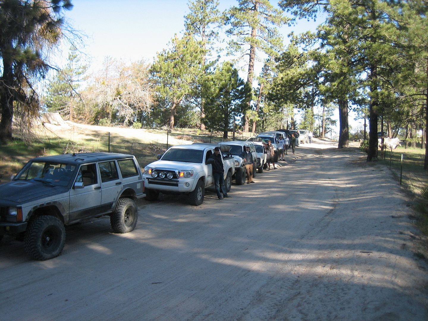 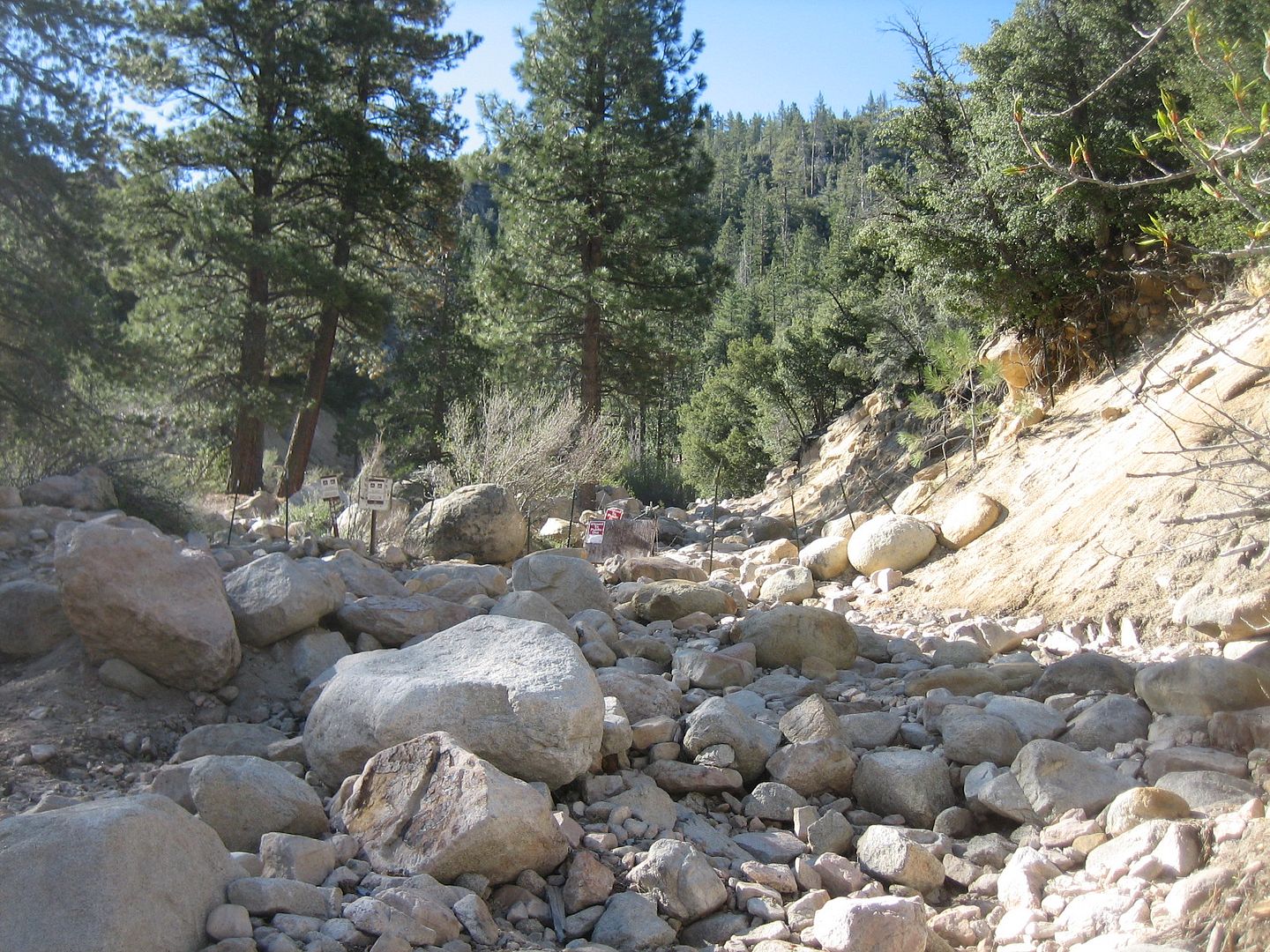 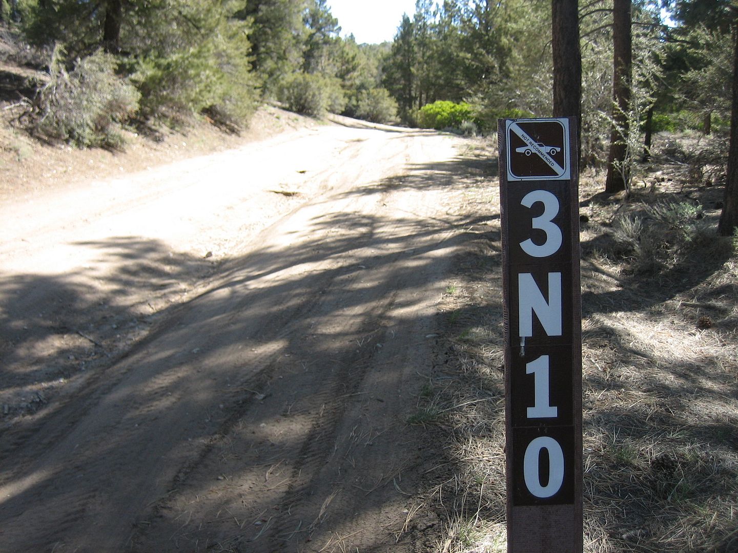 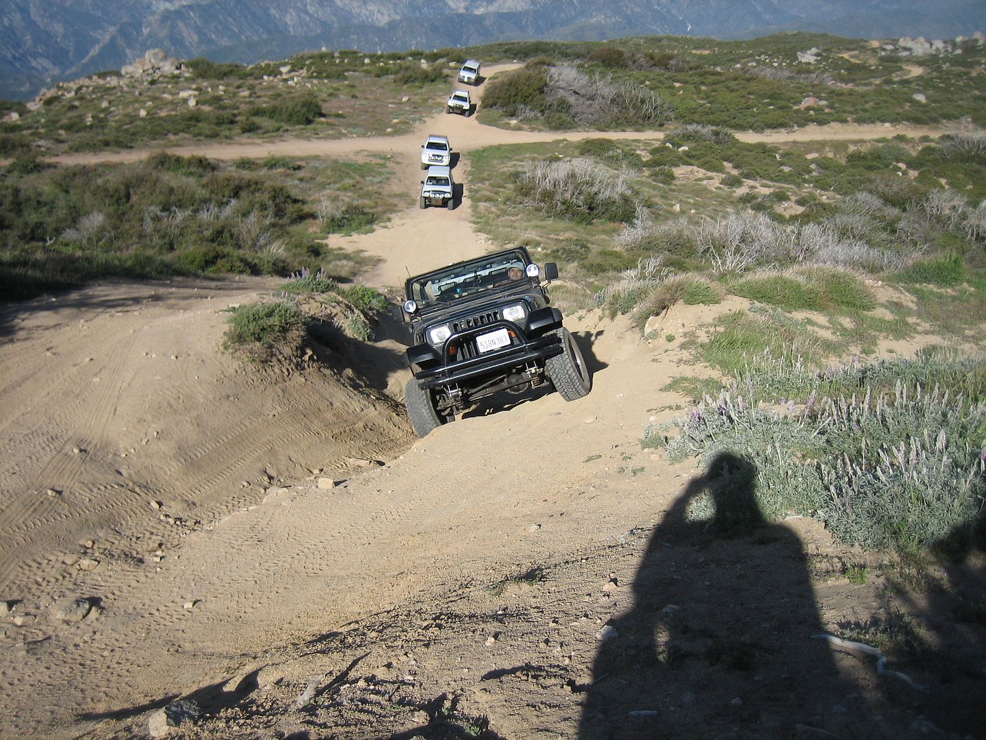  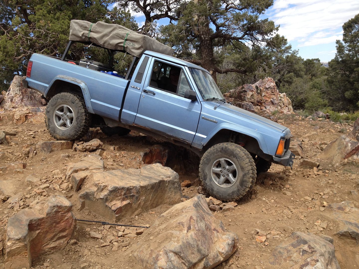 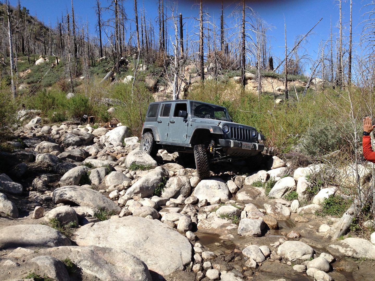  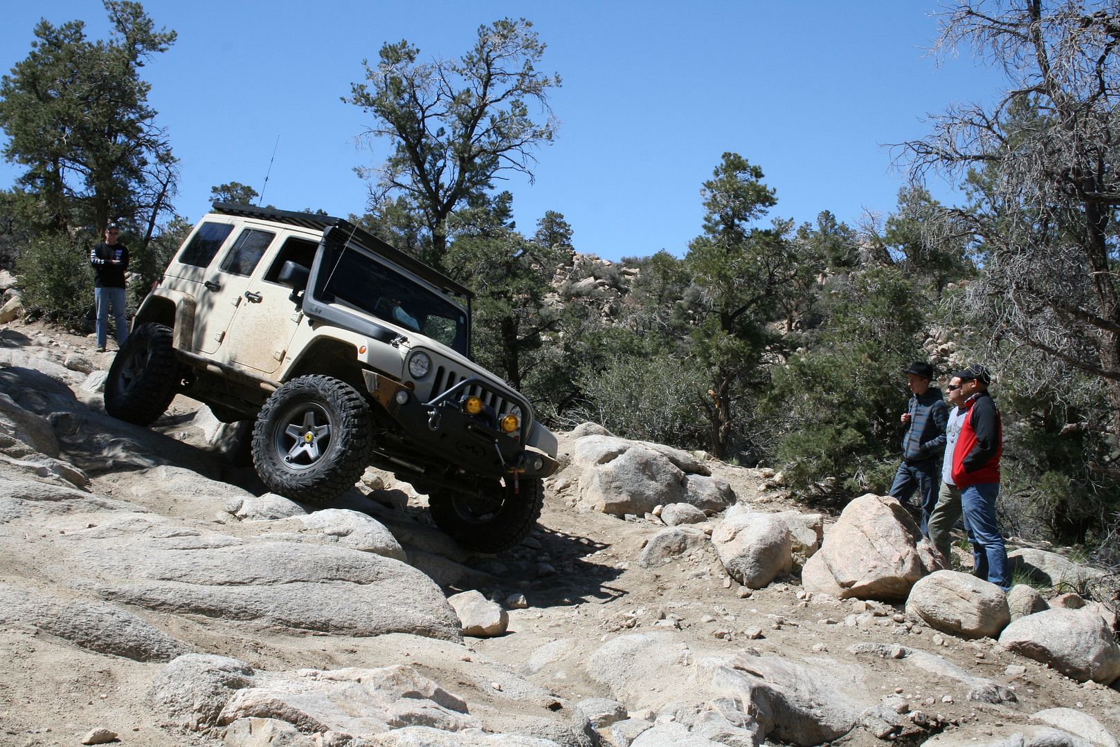 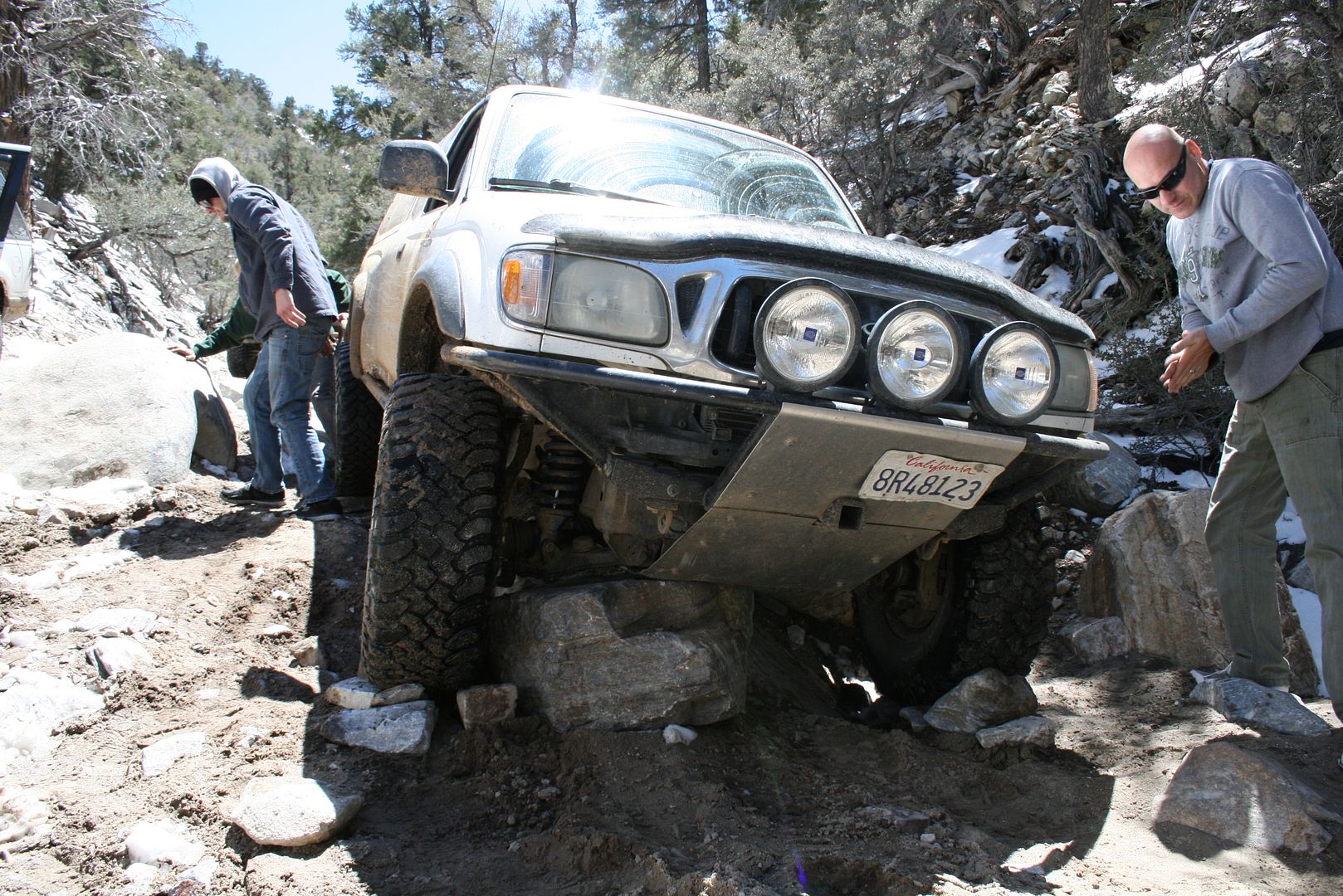 |
|
Explorer 1
4 Wheel Friend
 Old guy still having fun!
Posts: 3,072
|
Post by Explorer 1 on May 9, 2018 12:42:27 GMT -8
More on the CH Challenge:
This is coming up soon!
I'm considering going on up to Crab Flats Friday afternoon, securing my camp site and relaxing the rest of the day. I will then raise up early, drive over the the starting point at the Cleghorn and the at the end of the day arrive back at Crab Flats with my camp already set up. Sunday instead of driving home in the dark after a long hard day on the trail, I will again drive over to Crab Flats for a relaxing Sunday evening around the campfire. Then Monday morning drive home after a leisurely morning.
To make all this happen as nicely as possible, I will pull the XJ behind the SMB up to Crab flat Friday afternoon.
Any and all are welcome to enjoy this extension to the two days on the trail.
I know the CH Challenge is "booked" as all the difficult trails in the San Bernardino Mountains, and it is true that most of the hard trails are taken, but there are also lost of easy to moderate trails taken and when a difficult one come along there alternates which are scenic, and can be driven by the least capable driver and vehicle. One just needs a map of the area and to navigate around the difficult trails and still join the group on the easy trails and around camp.
Let me know if either of these options are attractive to you.
Thanks,
Fred
Explorer 1
|
|
|
|
Post by EL GRANDE on May 10, 2018 16:13:54 GMT -8
Interested in going early.
|
|
Explorer 1
4 Wheel Friend
 Old guy still having fun!
Posts: 3,072
|
Post by Explorer 1 on May 16, 2018 10:32:08 GMT -8
Final details: Isn't working out for me to leave Friday afternoon so I will be leaving early Saturday morning. All going need to be fueled up and ready at the Cleghorn trail head at 6 am for departure. There is a Chevron gas station and a McDonalds at the hwy 138 and Interstate 15 exit which is just after the Cleghorn exit on I 15. I will be topping off my gas tank and grabbing a quick breakfast before I head over to the trail head. I will be leaving my house right around 4:30 am, passing by Starbucks (Whittier & Colima) and then heading over to the trail head via Colima and the 60 Freeway. My radio will be on, 147.555 and cell 562-547-5577. There is no source of gas on the trail the two days so be sure to show up with a full tank at the trail head. Lunch will be on the trail and dinner at our camp spot, Crabflat campground. You will have to pay a fee for a camp spot, two to three vehicles per spot can share costs. Pit toilets, campfire rings and usually a source of drinking water (However one year there was water but it was not certified as of yet "drinkable". All drivers should have a good map of the area in case they get separated from teh group so they can make their own way. I will be driving a moderate to slow pace and will stop at the end of each trail a 15 minutes for those behind to catch up. If you get left behind it is imperative that you know where we're going so you can catch up. I will also be stopping 10 minutes at the beginning of each major trail so as to allow additional vehicles to catch up. The major (difficult) trails where I will stopping on day 1 will be: 1. The Cleghorn Ridge 2N47 2. The "X" trail 2N17X 3. Dishpan Springs 3N34 Dishpan exits right at Crab Flats campground. Day 2 major (difficult) trail stops: 1. Holcumb Creek 3N93 2. John Bull 3N10 3. Gold Mountain 3N69 4. Heartbreak Ridge 2N61Y 5. Pontaic Loop right hand turn loop trail off of 2N61Y Much of the 2 days trail will be easy and moderate, here is a discription of the route we will take. Cleghorn 2N47 over Cleghorn Ridge and down to the pavement Hwy 138, turn left and proceed on pavement to Hwy 173, right turn past the Silverwood Dam, right turn on paved road up to the Pilot Rock trail 2N33. In about 1/2 mile on left will be the steep gatekeeper of the "X" trail 2N17X. Follow the "X" trail up the ridge were it ends once again on the Pilot Rock trail 2N33. Turn left and continue on the Pilot Rock trail. Near it's end it will become paved and past a local water district facility ending on Hwy 173 where you will turn left and proceed on pavement to the Pinnacles staging area and make a right turn into the staging area. In the staging area there are restrooms. At he far end of the staging area will be the Willow Creek trail 3N34. You will follow the Willow Creek Trail 3N34 all the way to the junction of 3N34 and 2N26Y where you will need to make a hard left turn uphill to continue on 3N34 which is now called the Dishpan Springs trail. If you are not going to do the Dishpan Springs trail you will need to continue straight on 2N27Y around the mountain and travel pavement most the way to the camp ground, Crab Flats on road 3N16. At the end of the Dishpan Springs trail is Crab Flats campground. Day 2: From Crab Flats campground will will turn left on paved 3N16, the road shortly returns to dirt and we will then make a hard right turn into the bouldered gatekeeper on the Holcomb Creek trail 3N93. Holcomb creek trail end on trail number 3N16. I believe we turn left and in a very short distance (50 -100 yards) we make a right turn on a ("shortcut) trail 3N08. This will take use up to 3N16. When we arrive at the intersection of 3N08 and 3N16 we will turn right on 3N16 and travel to a "Y" intersection with 3N10, The John Bull Trail. We will turn left into 3N10. After the difficult section of the John Bull trail ending with the difficult boulder gate keeper the trail eases out and will become 3N02. Continue on 3N02 to were it ends once again on 3N16. Turn left on 3N16 and travel over to the Gold Mountain trail 3N69. 3N69 will be a steep right hand turn up a rocky trail. Gold Mountain climbs up and over Gold Mountain and ends at Hwy # 18 east of Big Bear City. (This will be the closest we come to a source gas, if your desperate for gas you can turn right to the nearest gas station for some fuel and then back track to this junction). From the Gold Mountain Hwy 18 junction we turn left and head around Baldwin Dry lake turning right just past he dry lake on Baldwin Lake Road. Half way down the dry lake on the left will be 2N02 where we will turn left and follow this trail several miles to a right turn on 2N01. After a short distance on the left will be the beginning of the Heartbreak Ridge trail 2N89Y. Follow up the roack climb on 2N89Y to a "Y" where you will take the left choice 2N61Y. After some distance there will be a right hand turn up a ravine with no signage, this is the Pontaic Loop portion of the Heartbreak Ridge trail. I recall that before this right turn there is another ravine on the right that is lesser traveled that dead ends. Pontaic Loop will pass an old Pontaic wrecked on the right side on the dry creek bed. The trail goes up to the top of Heartbreak Ridge and then rather steeply down the other side rejoining the trail in. When you come back down to where you started the Pontaic Loop section turn right and continue on 2N61Y. The Heartbreak Ridge trail will end after a brief steep climb unto 2N02 where we will turn right and continue on 2N02. 2N02 is also called Smarts Ranch rd and then Burns Canyon rd the closer you get to Pioneer Town. You will pas through the residential area know as Rim Rock and Burns Canyon road will become Tonto road. Tonto road dead ends on Eastline road where we turn right and then left on Pipes canyon road. So long as you continue to head southeast you will eventually end up on Hwy 247 and several gas stations. Turn right on Hwy 247 and head south to Hwy 62 and then right to Interstate 10. I think you can make it home from there. Any questions?  ?? Thanks, Fred Explorer 1 |
|
Explorer 1
4 Wheel Friend
 Old guy still having fun!
Posts: 3,072
|
Post by Explorer 1 on May 16, 2018 10:33:56 GMT -8
I will be also sending a message at each stop and then when I start proceeding again via my 2 meter radio so you will have a better idea how far behind you are.......if you are.
Thanks,
Fred
|
|
|
|
Post by EL GRANDE on May 16, 2018 10:58:04 GMT -8
I'll meet you at the trailhead. Joe Rubio is joining me as a passenger.
|
|
|
|
Post by smurfmurrie on May 16, 2018 14:38:27 GMT -8
I will be coming, but Carl will not now. So it looks like you, Fernando, possibly Matt and me this time.
Murrie
|
|
Explorer 1
4 Wheel Friend
 Old guy still having fun!
Posts: 3,072
|
Post by Explorer 1 on May 16, 2018 16:03:06 GMT -8
I will be coming, but Carl will not now. So it looks like you, Fernando, possibly Matt and me this time. Murrie Talked with Carl today, he plans on coming up Saturday even to Crab Flats and wheeling with us Sunday. Thanks, Fred Explorer 1 |
|
Explorer 1
4 Wheel Friend
 Old guy still having fun!
Posts: 3,072
|
Post by Explorer 1 on May 16, 2018 21:24:27 GMT -8
Current weather forecast has 60% chance of thunder showers in the Big Bear lake area Saturday afternoon. Best to be advised and prepared.
Saturday evening clear along with all day Sunday.
Thanks,
Fred
Explorer 1
|
|
Explorer 1
4 Wheel Friend
 Old guy still having fun!
Posts: 3,072
|
Post by Explorer 1 on May 17, 2018 10:42:32 GMT -8
Murrie & Fernando,
Are you bringing your tool sets and is someone bringing a hi-Jack?
Fred
|
|
Explorer 1
4 Wheel Friend
 Old guy still having fun!
Posts: 3,072
|
Post by Explorer 1 on May 17, 2018 11:15:28 GMT -8
Would be very nice to have a fire both Saturday evening and Sunday morning.
I have lots of precut and loaded boxed of fire wood if any would like to carry one.
Thanks,
Fred
Explorer 1
|
|
|
|
Post by EL GRANDE on May 17, 2018 12:26:15 GMT -8
Would be very nice to have a fire both Saturday evening and Sunday morning. I have lots of precut and loaded boxed of fire wood if any would like to carry one. Thanks, Fred Explorer 1 I'll grab one tonight from you. |
|
Explorer 1
4 Wheel Friend
 Old guy still having fun!
Posts: 3,072
|
Post by Explorer 1 on May 18, 2018 10:10:14 GMT -8
Starbucks doesn't open until 5 am on Saturdays, so I'm just planning on leaving my house a little after 4:30 am and heading up to to the trail head.
Thanks,
Fred
Explorer 1
|
|