Post by Explorer 1 on Sept 12, 2013 21:43:23 GMT -8


Need I say more, it was a good trip!
Here is the trip report and a few pictures and movies:
Shortly before we left it was reported that 9 miles of the Rancheria Road trail was closed due to a new wildfire. We quickly changed our plans to enter the Southern Sierra Nevada's from the east side leaving pavement at Jawbone Canyon just below Red Rock Canyon State Park and then head north along the Sierra crest to Lake Isabella.
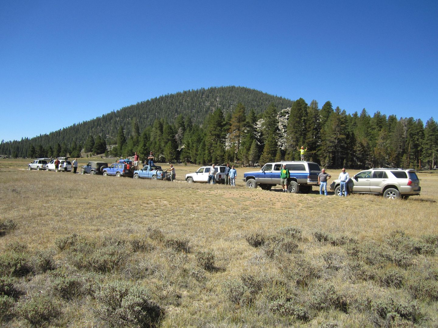
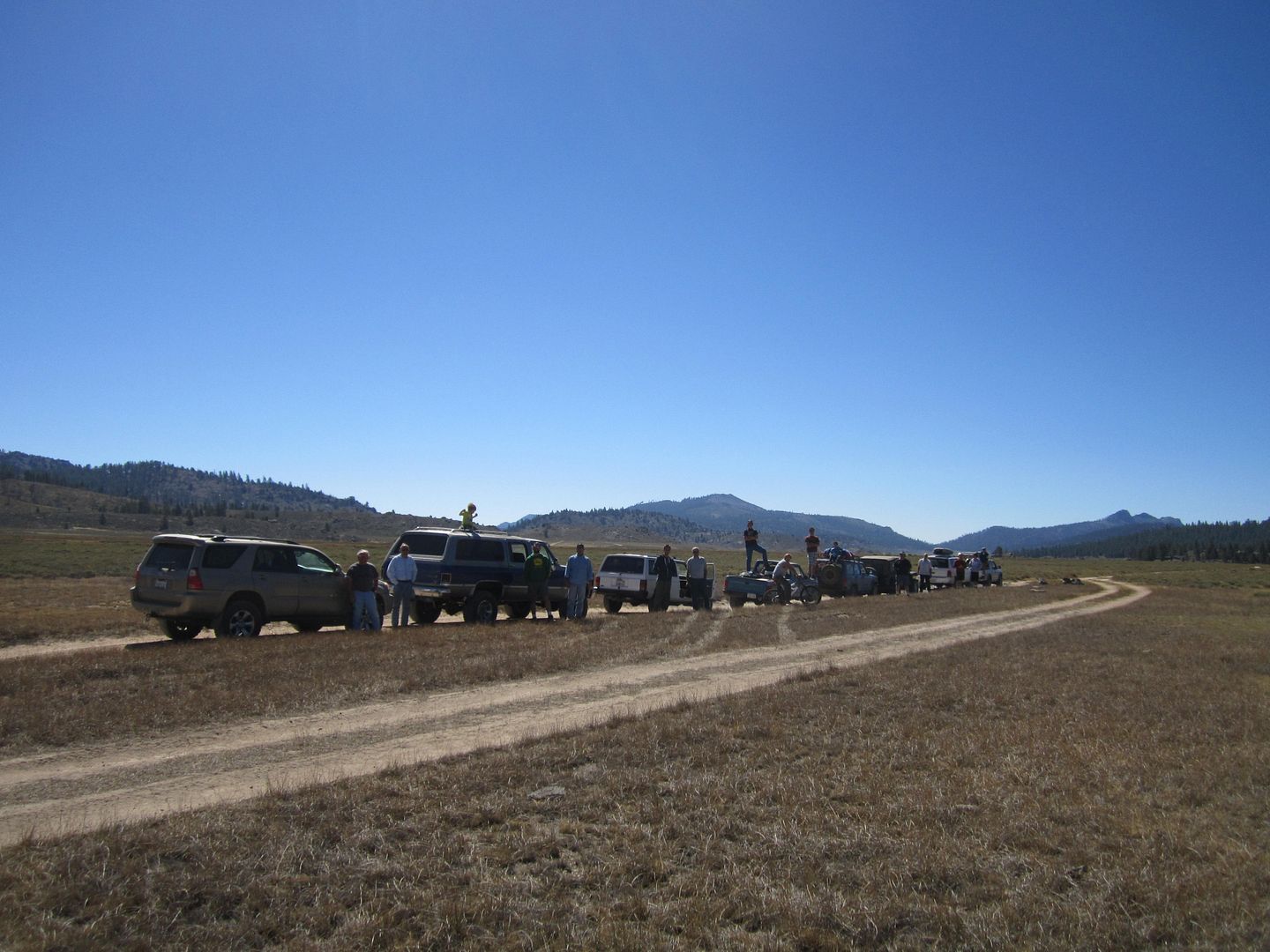
Eight vehicle and 18 souls made for a good group with plenty of variety of personalities and with 70 years difference between our youngest and oldest we covered all ages.
Leaving early we beat the heat in the desert and upon climbing the mountains the cooler higher elevation temperatures allowed easy cool travel. On a trip a few years ago I remembered either a Lynx or a Bobcat ran across our path and again on this trip as we climbed another such animal ran across on front of me. These animals are rarely seen and now two such sighting on the same trail.
David Brewster brought his mountain bike and near the top dismounted it from Greg Jenkins vehicle and peddled a bit. He soon discovered that the higher elevation air was quite thin and put his bike back on Matt Dillion's pickup.
As one nears Lake Isabella there is a long downhill, several miles where the thrill was too much for David to just travel as a passenger and once again he took to the peddles and enjoyed a ride using gravity to power him.
Hitting pavement again just below the lakes dam we topped off our tanks in the thriving community of Bodfish (anyone know what a Bodfish is???) where entering the store to pay for your gas can be a new welfare state cultural experience (ask Jose Javier) we traveled on pavement up hwy 155 past Kernville and ended up ending the day camping at Fairview campground where we were met by the camp host who before we could ask for a camp site proceeded with the following: " No campfires, no charcoal fires, quiet time is 10 pm, no noise, and no partying are you OK with that!? after I assured him we were, he welcomed us in and the group found 4 campsites near each other.
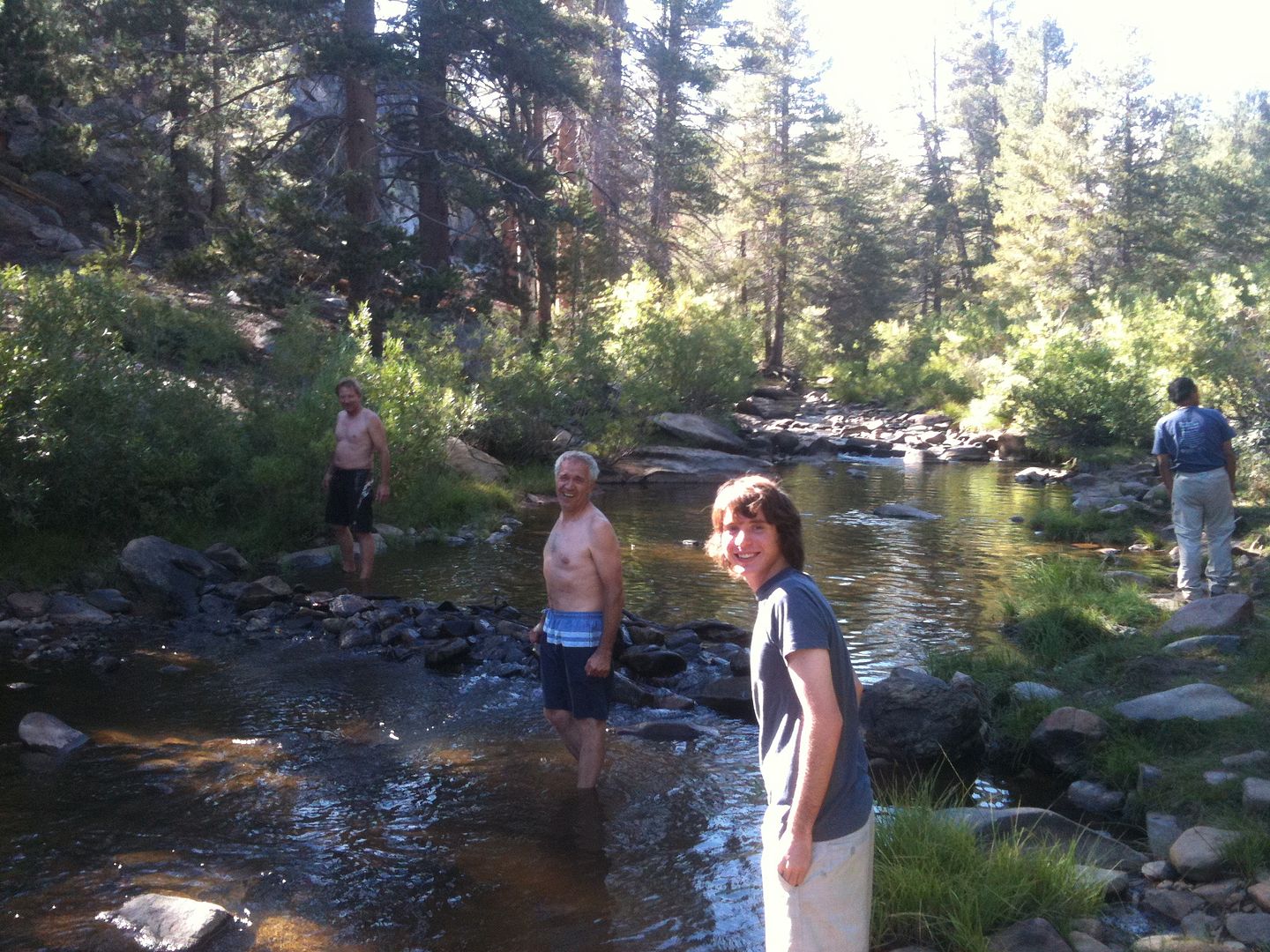
We arrive early enough that it was still a bit warm and several of us took to playing, swimming and riding the current down a ways on the Kern River. The water was nice and it was shear joy to cool off.
Most tried to stay up to 9 - 9:30 around the campfire ring, minus the fire and as the evening came on the air cooled down to the 40's so it was a cool comfortable night.
Saturday morning we left but not without a stop at McNally's general store for some fresh ice for those with coolers.
We left hwy 155 at the Kern River Bridge and headed up the Sherman Pass paved road climbing a few thousand feet to where we came to Sherman Pass 4x4 trail.
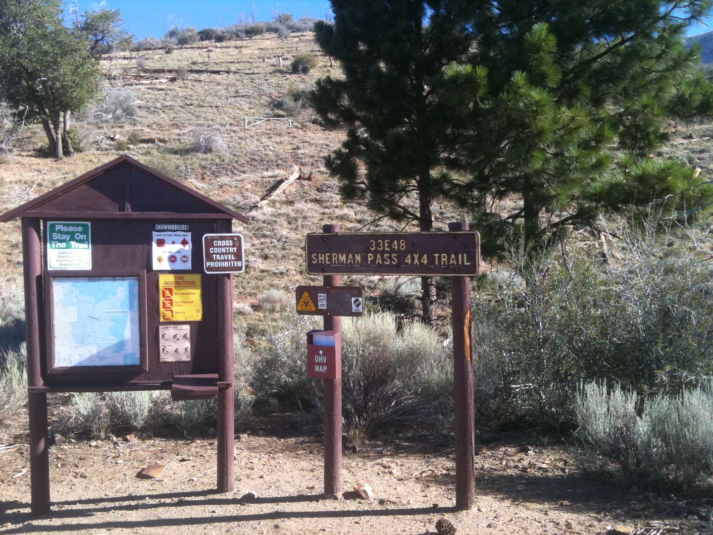
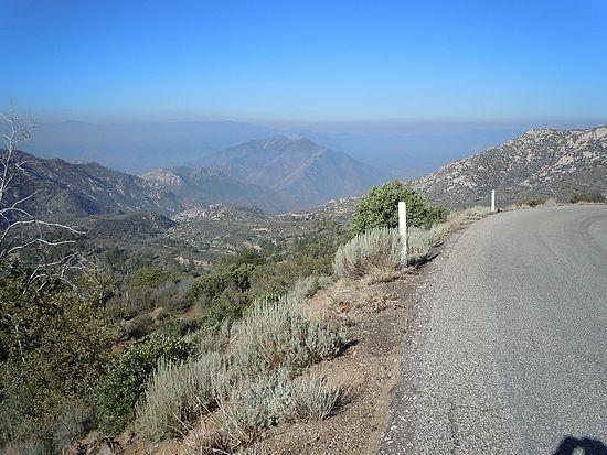
Here we aired down our tires and headed up what was to be the most difficult portion of our off-roading.
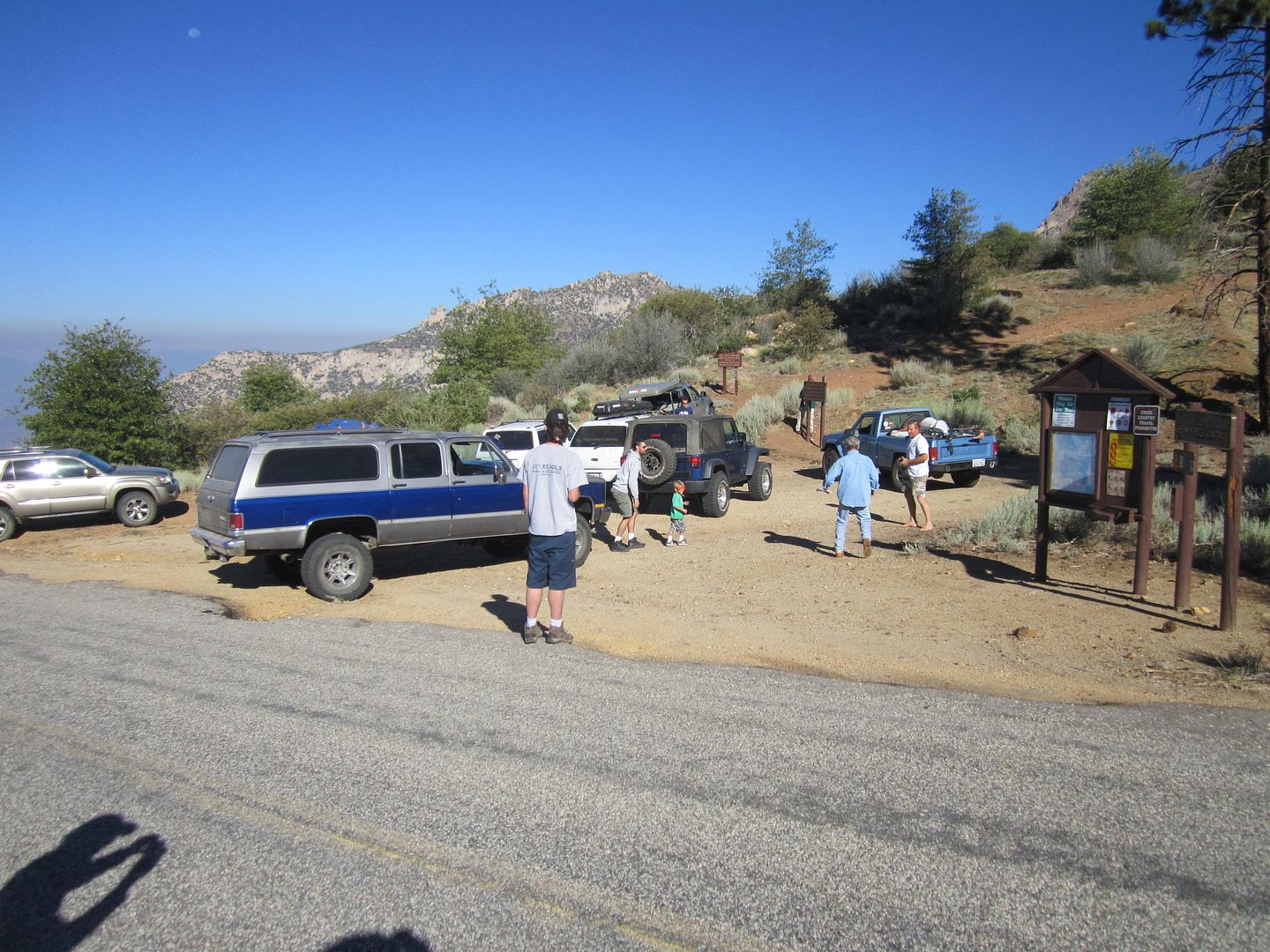
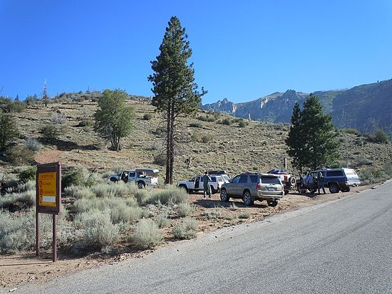
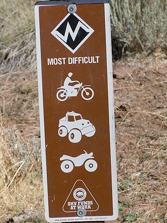
The trail quickly brought all vehicles into low 4wd and the steepness along with the loose gravel and rocks challenged all drivers. Several times more than one attempt was necessary especially those vehicles with open axles.
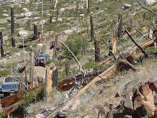
Near the top Rudi pinched a sidewall and damaged his tire beyond repair. Having a less then stellar spare tire caused him to travel the balance of the trip with extreme caution (meaning grandpa style).
Great views looking back down the burn section:
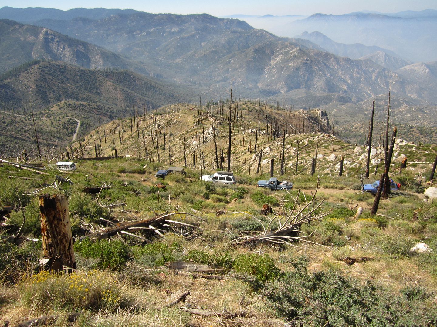
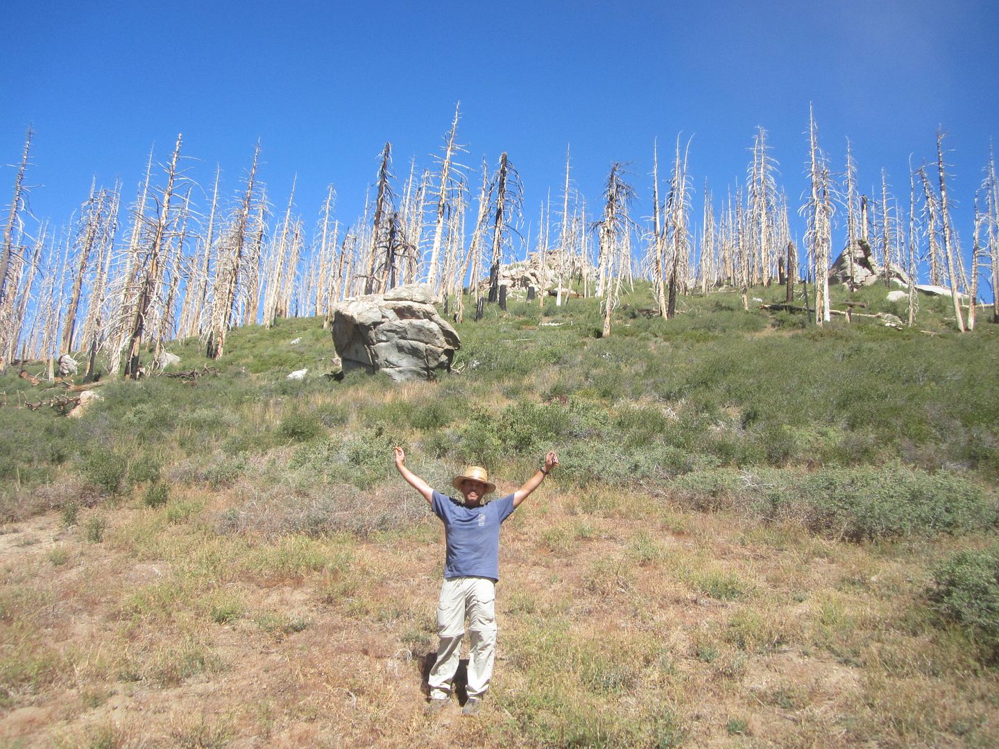
On top of Sherman Pass the trees are large, and beautiful. We couldn't spend too much time here enjoying it as it had taken us 2 hours to travel 3.4 miles!
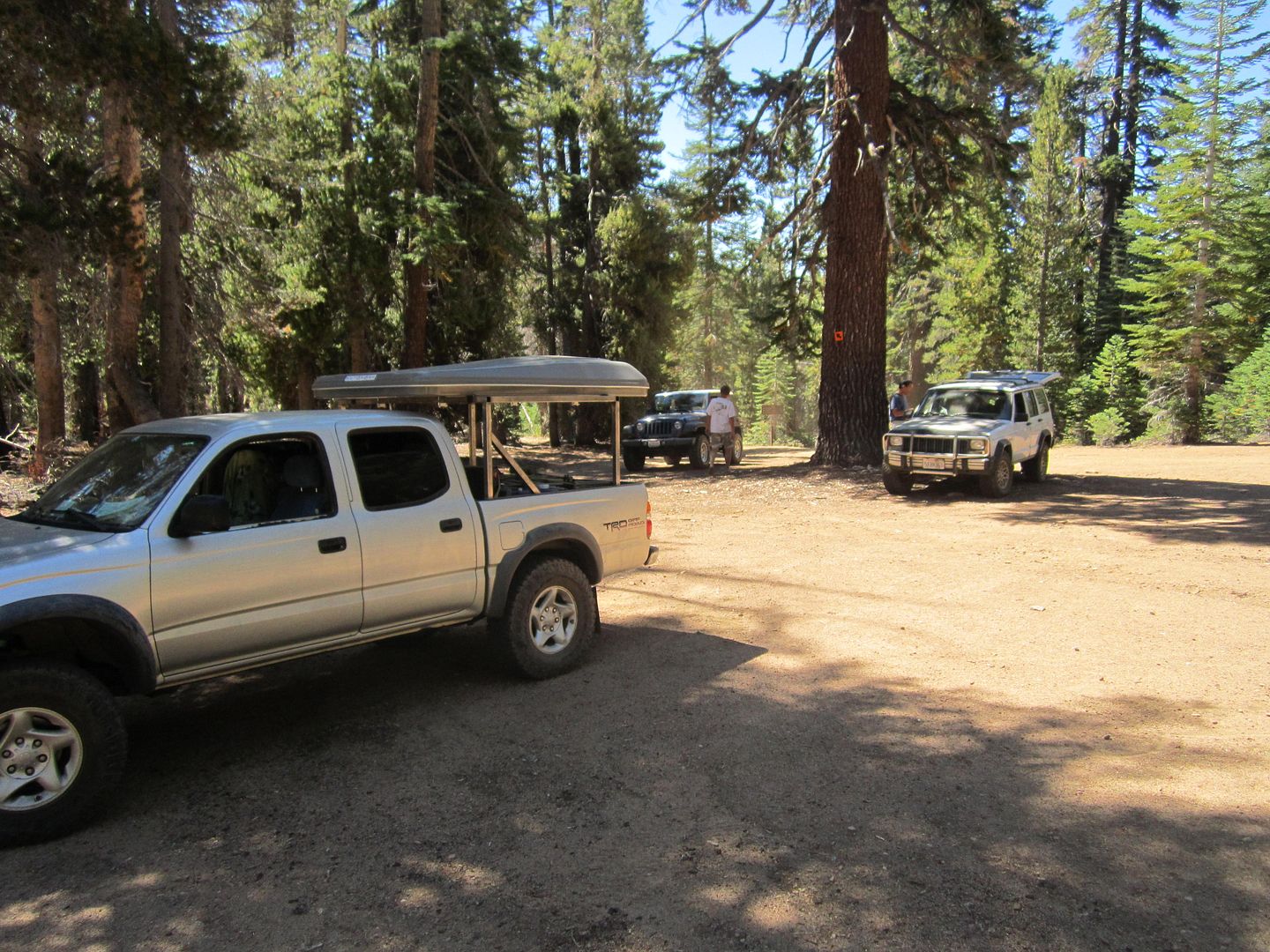
The balance of the Sherman Pass 4x4 trail has a few minor rock gardens and some winding through the tree which challenges the full size vehicles but for the most part its a 10-15 mph trail.
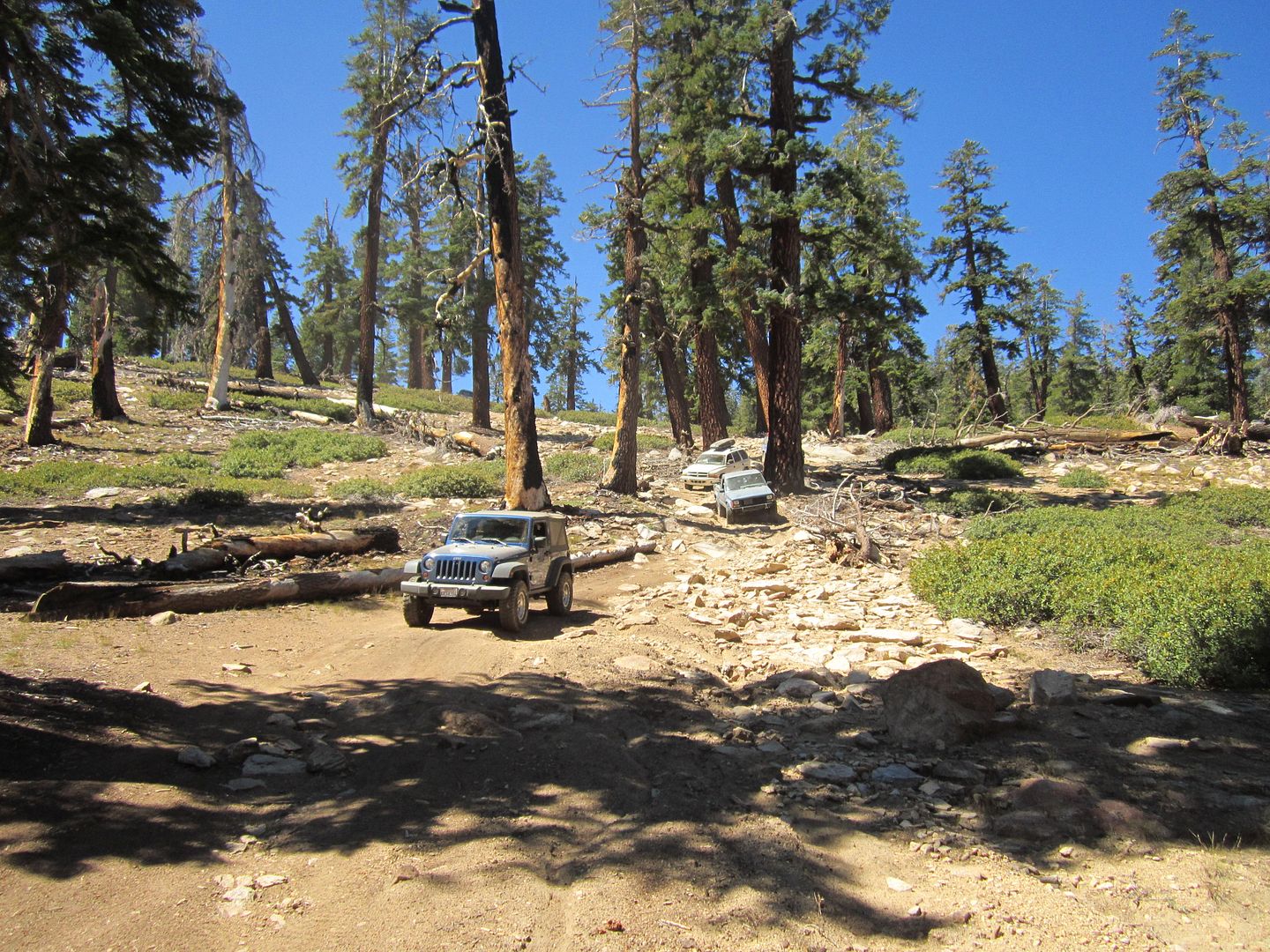
The trail reaches over 8,500 feet elevation and finishes back on the Sherman Pass paved road near Bonita Meadows.
But before we continued it was time for lunch!
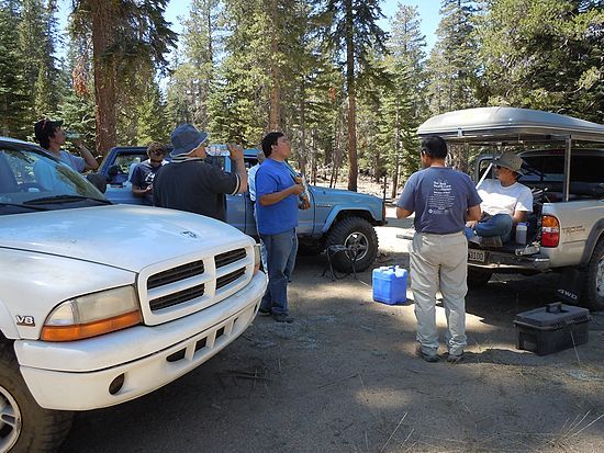
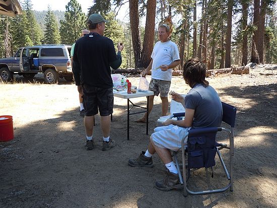
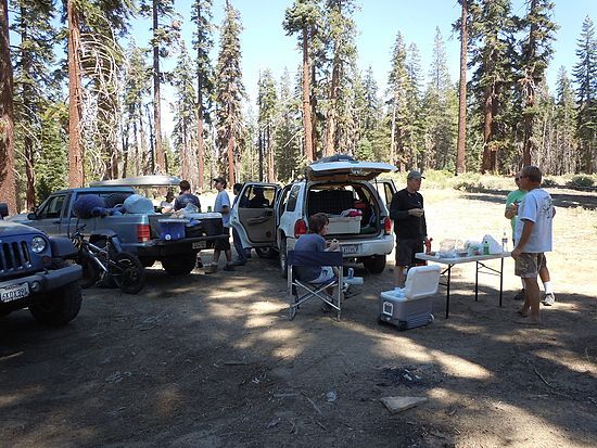
From here we continued traveling north/east until we came to the Blackrock work camp and information office. We leave the main road continuing north and as we travel the pavement is older and the road narrower. Eventually the pavement end and we start our off road adventure toward our final destination, Monache Meadows.
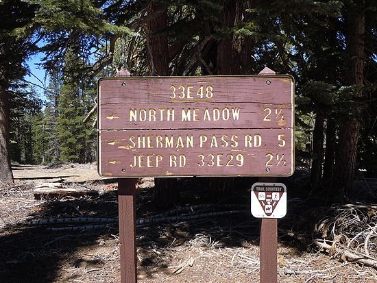
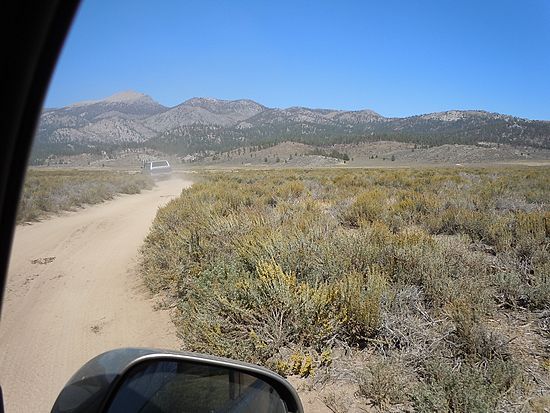
Monache Meadows, located at 8000 ft near the Golden Trout Wilderness. The south fork of the Kern River runs it length. It is one, if not the longest, high Sierra Meadows.
There are several side trails, both 4wd and hiking that intersect with the primary trail to the far end of the meadows where there is a river crossing that can be rather high in the spring.
We arrive early enough to cool off in the river and enjoy the peace of this wonderful location. Later we ended a great day with good conversation around an evening campfire.
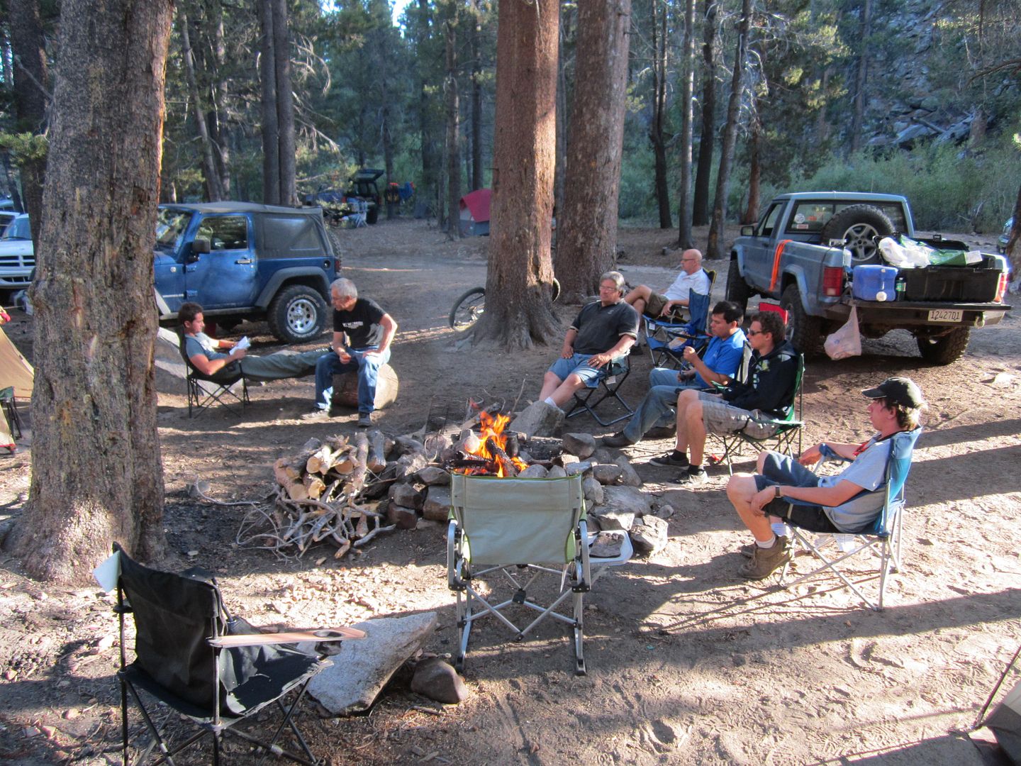
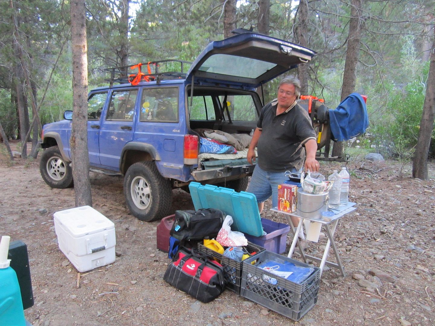
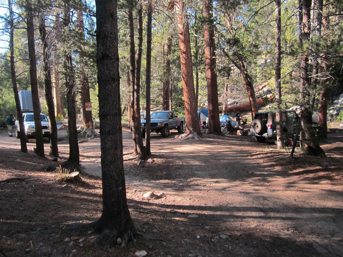
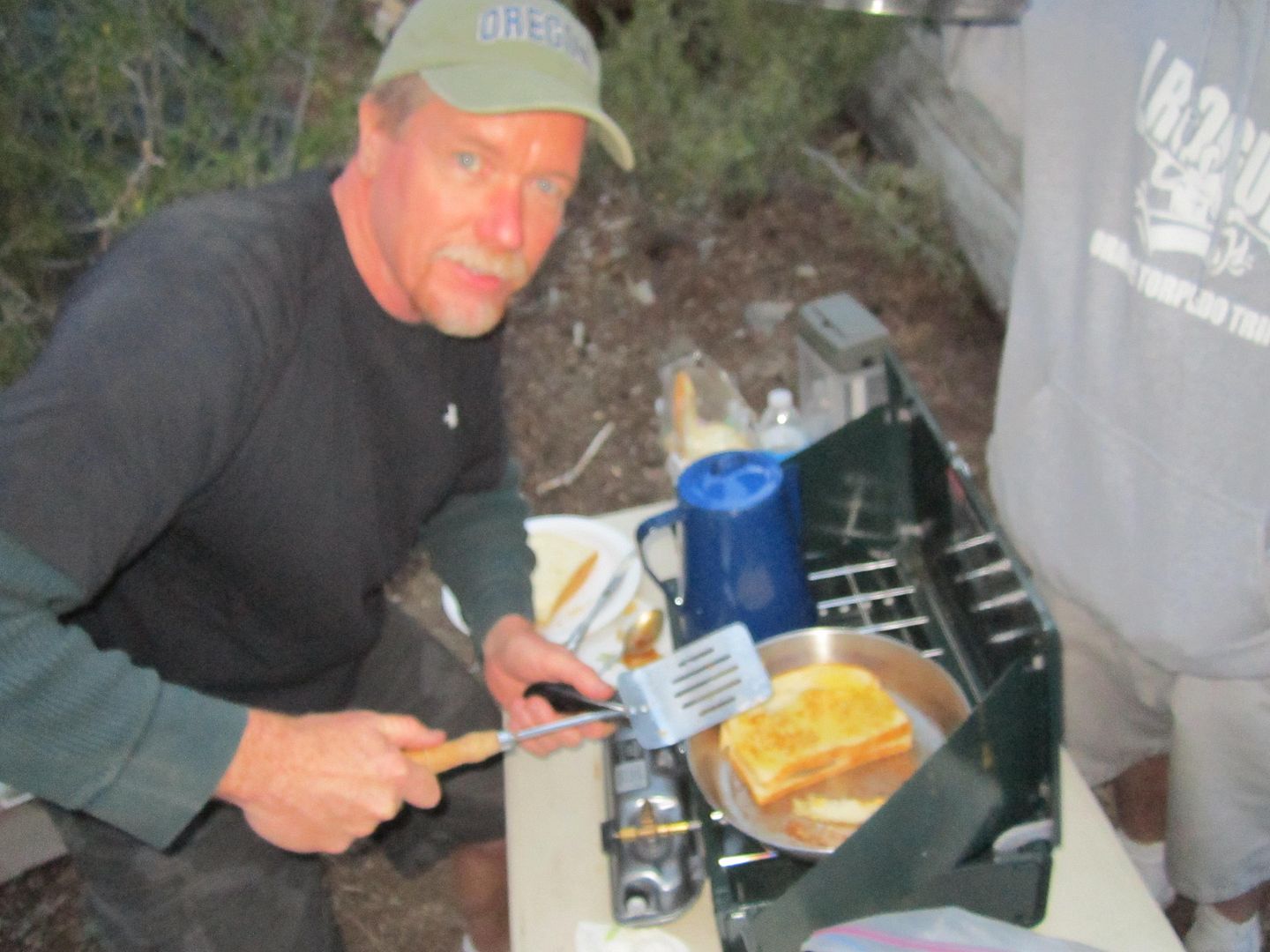
Sunday morning we did our customary "Big Breakfast" talk a little about Job and suffering, then packed it up and headed home taking the Kennedy Meadows route down to highway 395 and then home.
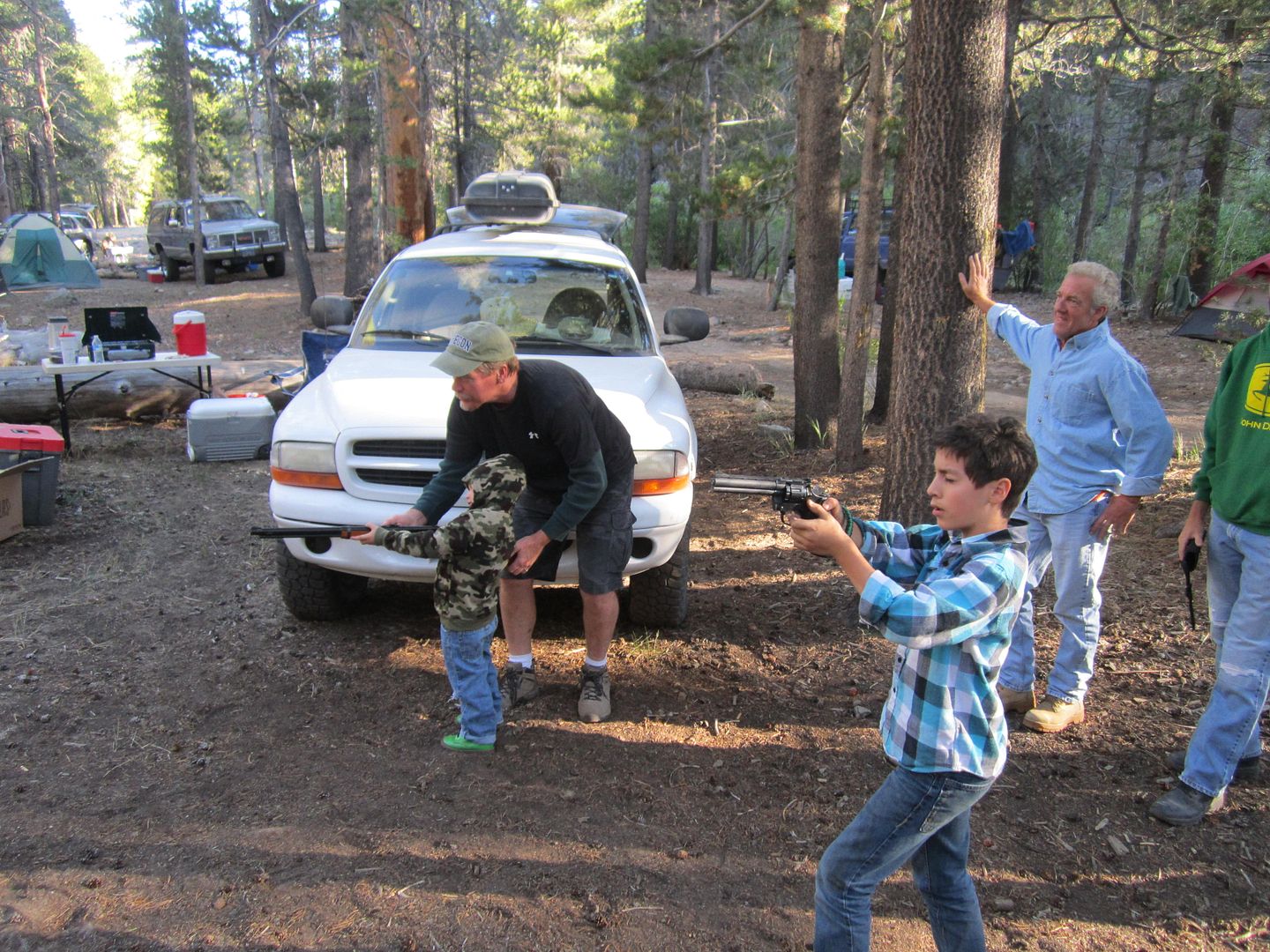
Some Fun in the water:
Next trip will be the first weekend in December, The Mojave Road, this will be an "all welcome" trip which means ladies can drive or come as passengers.
Thanks,
Fred
Explorer 1

