Post by Explorer 1 on May 6, 2015 19:34:33 GMT -8
CH Challenge trip 2015
The “CH” (Cleghorn to Heartbreak Ridge) challenge trip isn’t designed for the faint hearted. It will challenge driver skills, vehicle’s ability and driver and spotters physical and mental endurance. The course driven over two days connects just about every difficult trail from Interstate 15 to Highway 62 in the Morengo Valley. In the two prior runs only 2 vehicles that started made the entire trail and finished the course. For most that come easier “drive around” options are used. Some come and drive a few trails and then leave the course. To the few that complete the entire course belongs the personal satisfaction that they took on everything the trails could throw at them and came through still standing or still rolling under own power.
May 2-3, 2105 Saturday and Sunday
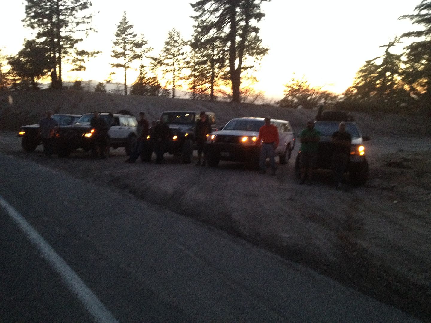
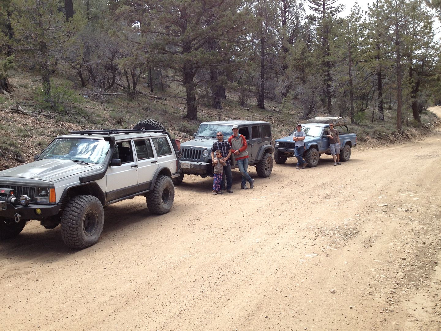
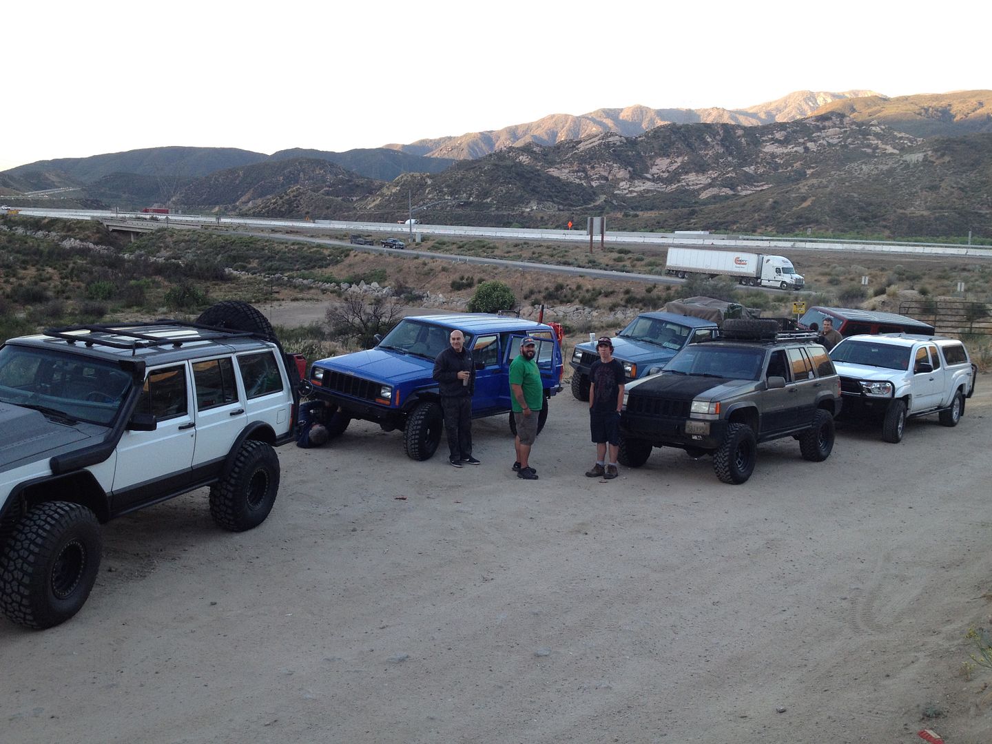
The day started with great weather as we met at the Cleghorn trailhead just off the Interstate 15. At the beginning we had the following drivers and vehicles:
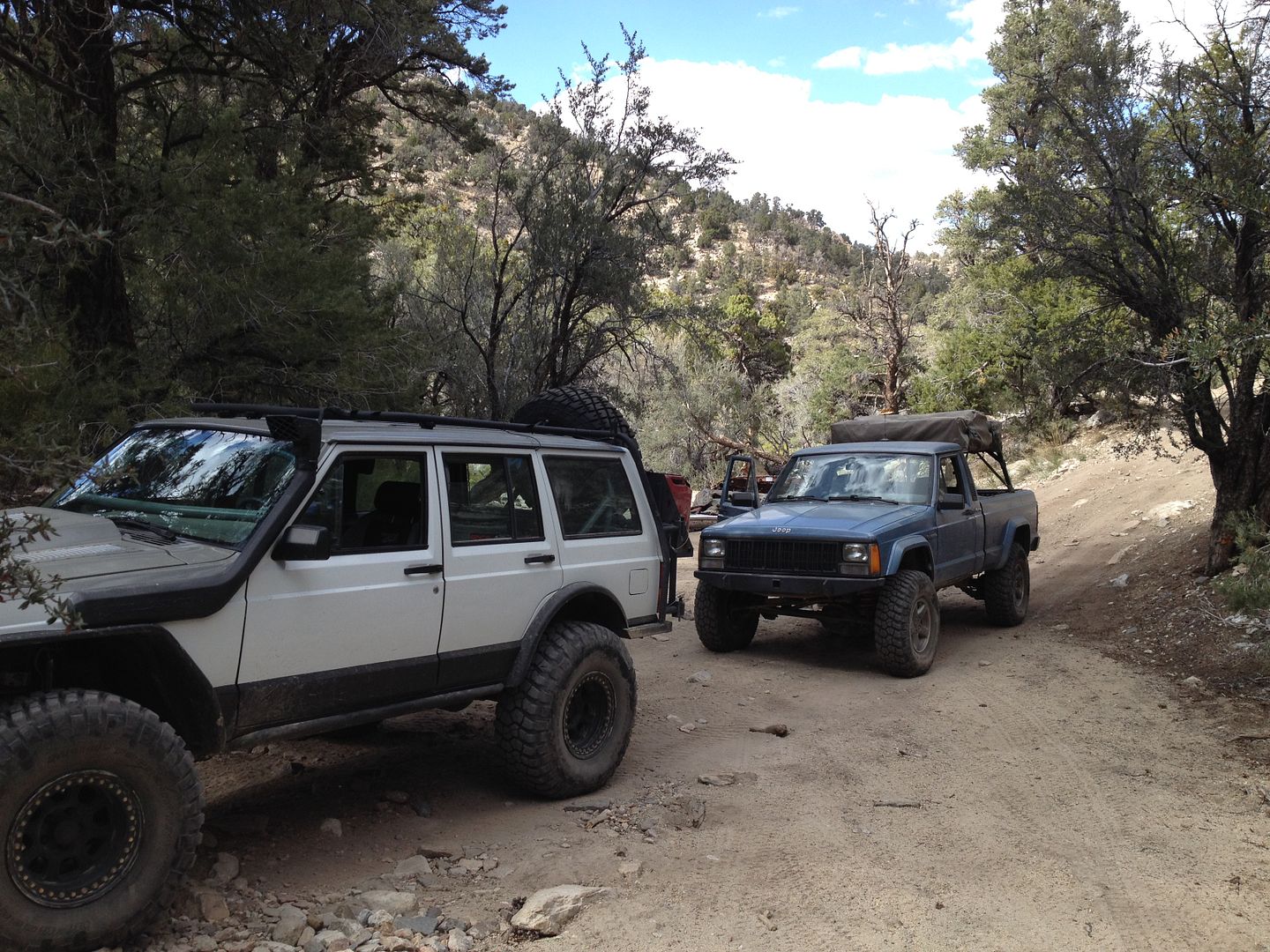
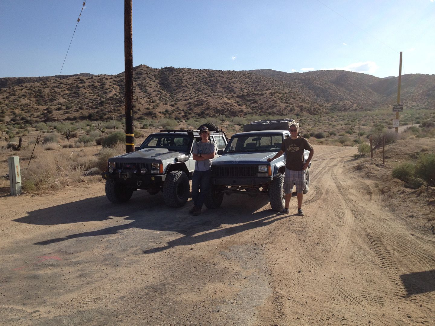
1. Me 1990 XJ
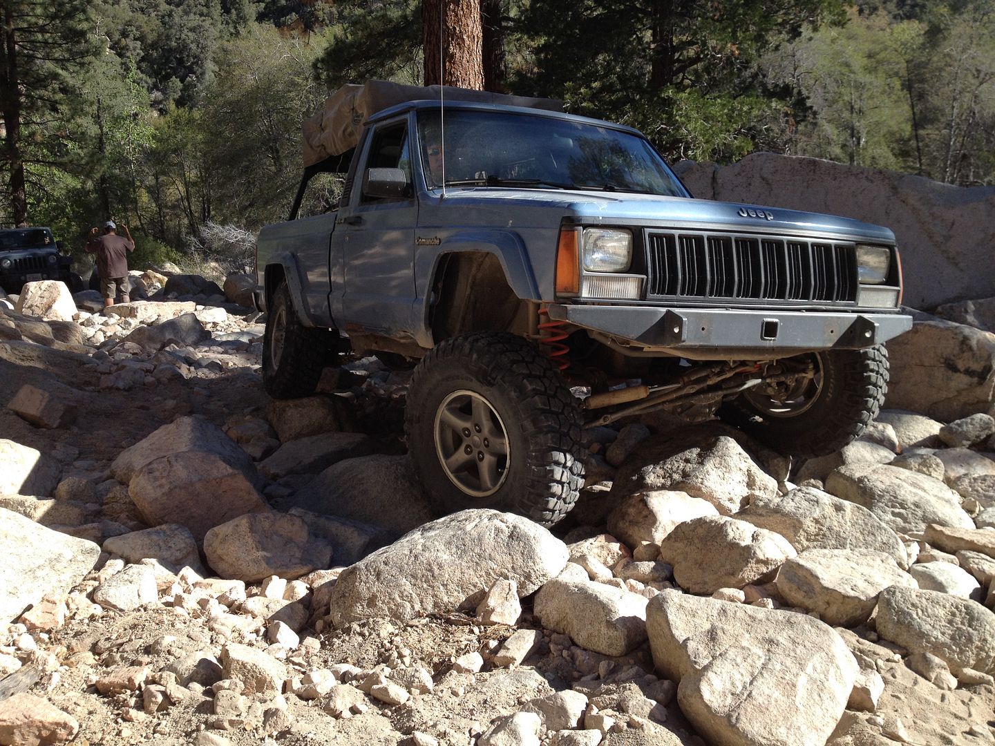
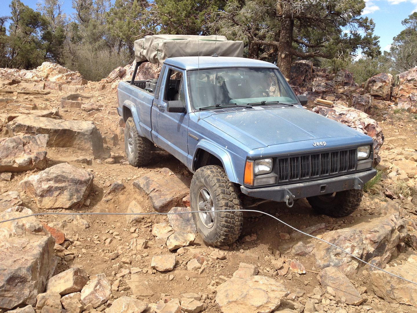
2. Matt D. 1987 MJ
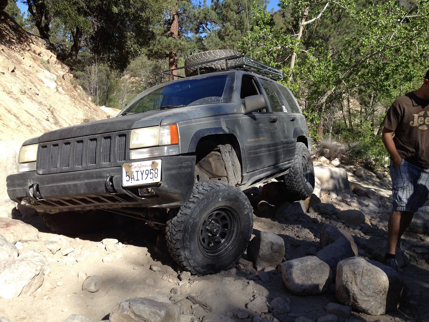
3. Fernando G. 1998 ZJ
4. Murrie A. 1998 XJ
5. Michael A. 2014 Tacoma
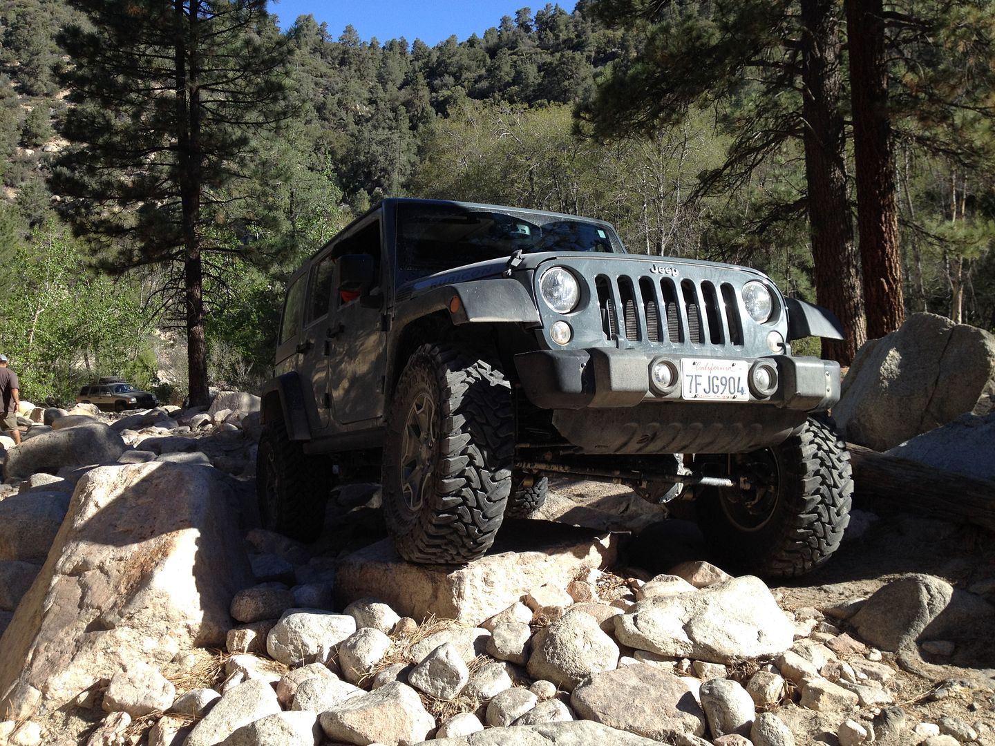
6. Matt J. 2014 JK
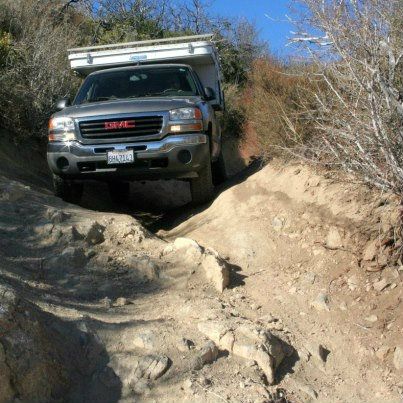
As we headed up the Cleghorn we took all the more difficult options until we came to the “V” notch. Here Murrie, Michael and Matt J. chose to pass around. The “V” notch really tests the articulation on a vehicle.

After the “V” notch there are several challenging hills to climb until we crest the top.
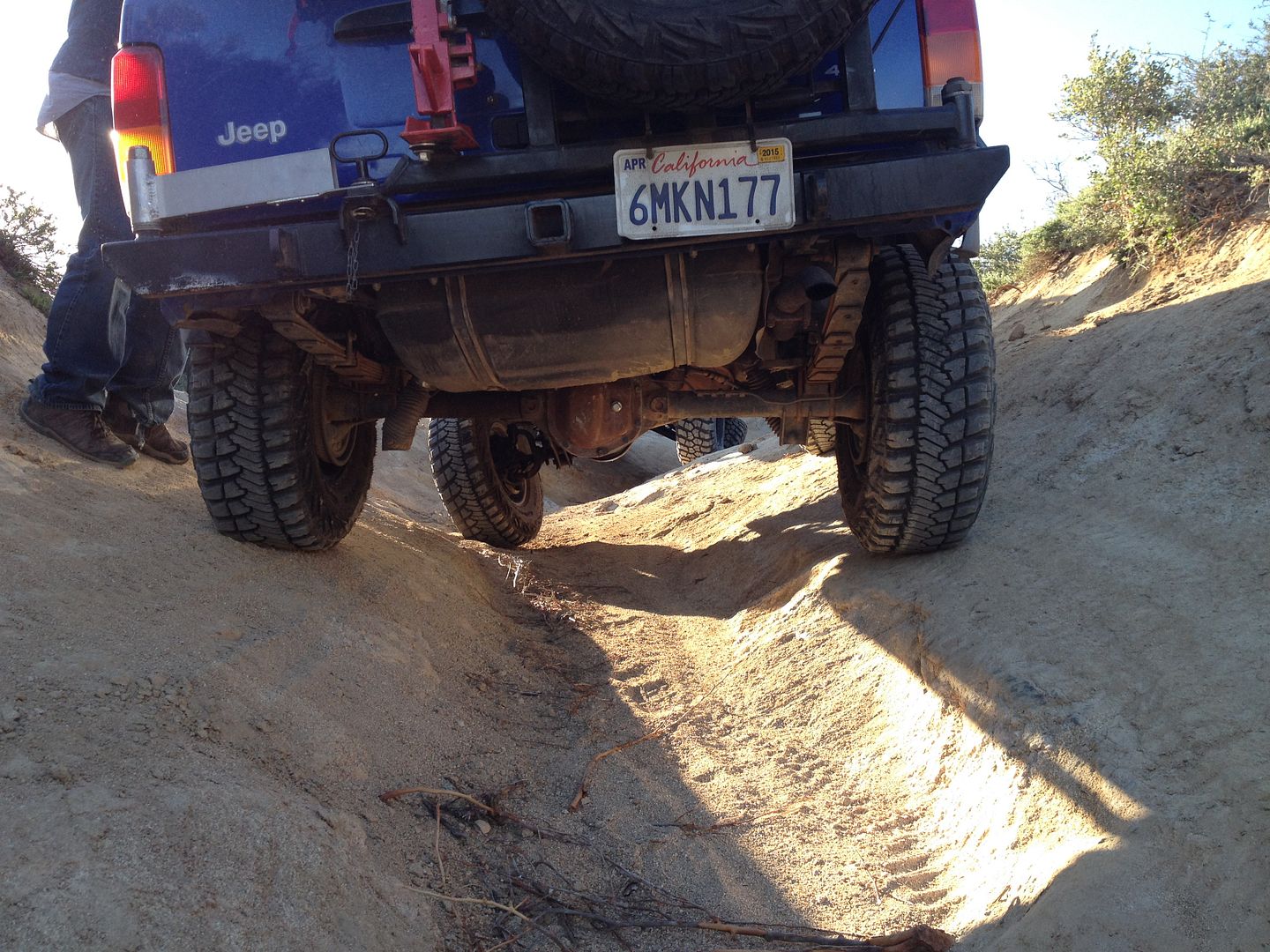
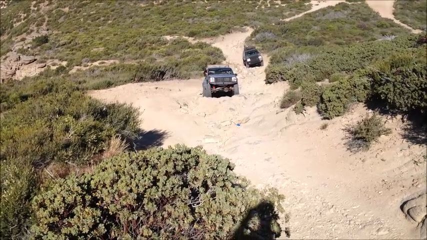
There are a couple of off camber parts and a few steep drops. On one prior “CH” trip one of the guys rolled his XJ on one of the off camber places.


I believe all the group took the more difficult option down. After one of the more difficult drops Murrie noticed his steering acting strange and it was discovered that the high pressure power steering line had a hole in it and was bleeding fluid with each turn. At this point he had no other option than to exit the Cleghorn on the easy path and make a bee line to Hesperia to find another line then install it. His plans were to only trail with us for the day so it looked like his wheeling might be cut short. So off he went with his twin brother following in his Toyota Tacoma as support.
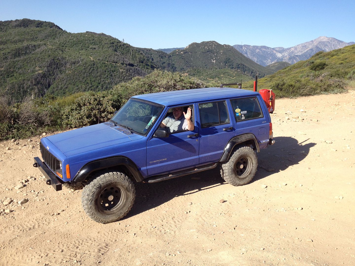
On day one, trail one, we have already lost two vehicles. It looked like the Jeeps would be alone on the trail.
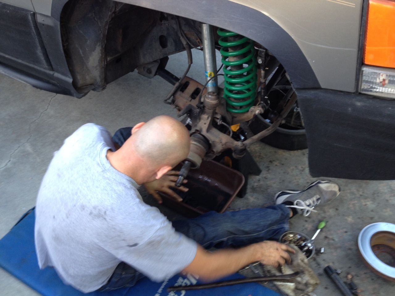
It wasn’t long before we had our second mechanical issue, Fernando’s noticed that one of the bolts that held on his steering dampener had somehow loosened and fallen out. We took a brief stop with enough time for him to remove the other bolt and continue without the dampener.
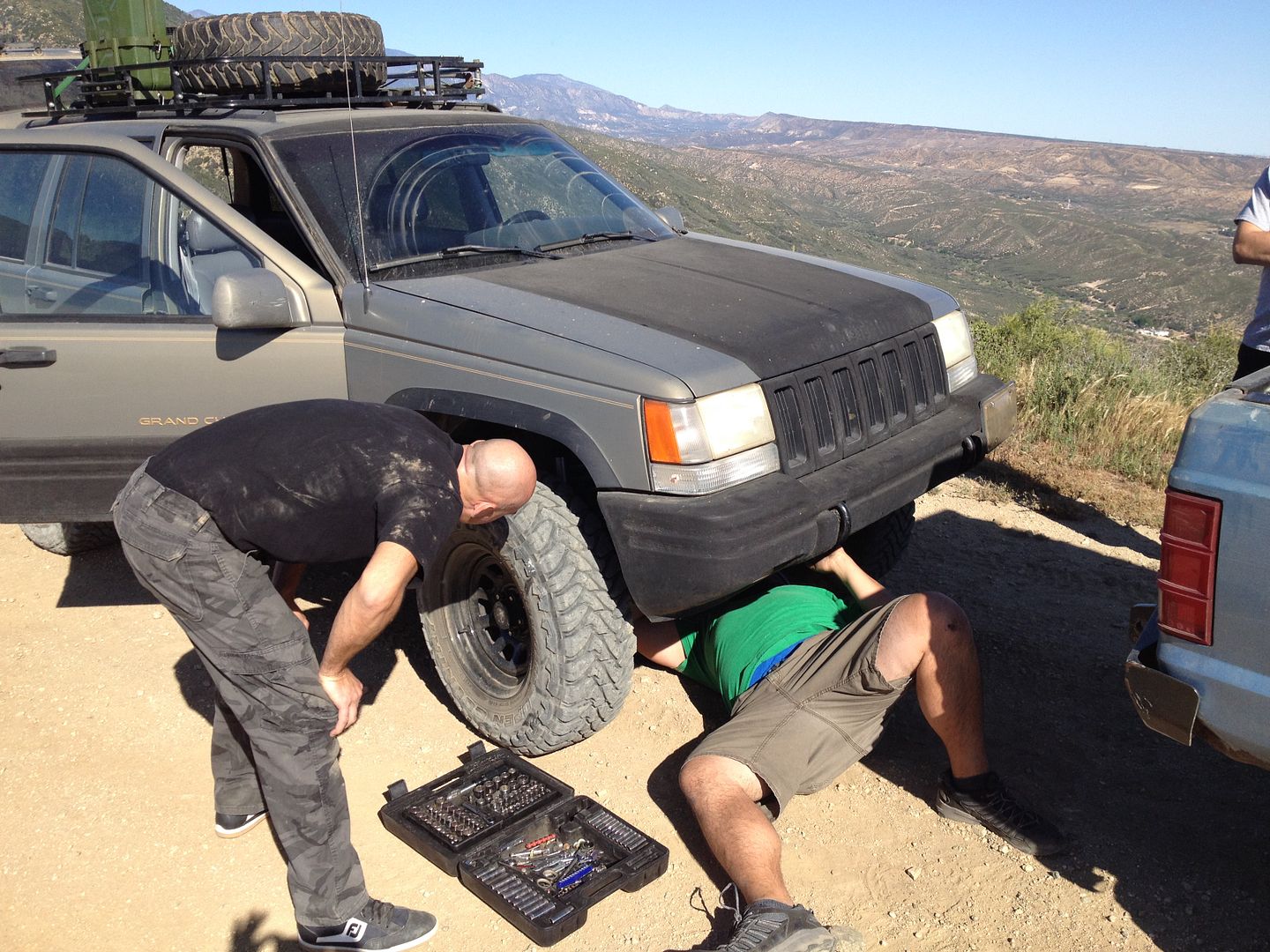
We completed the last articulation test on the Cleghorn with only Matt in the JK opting out of this challenge.

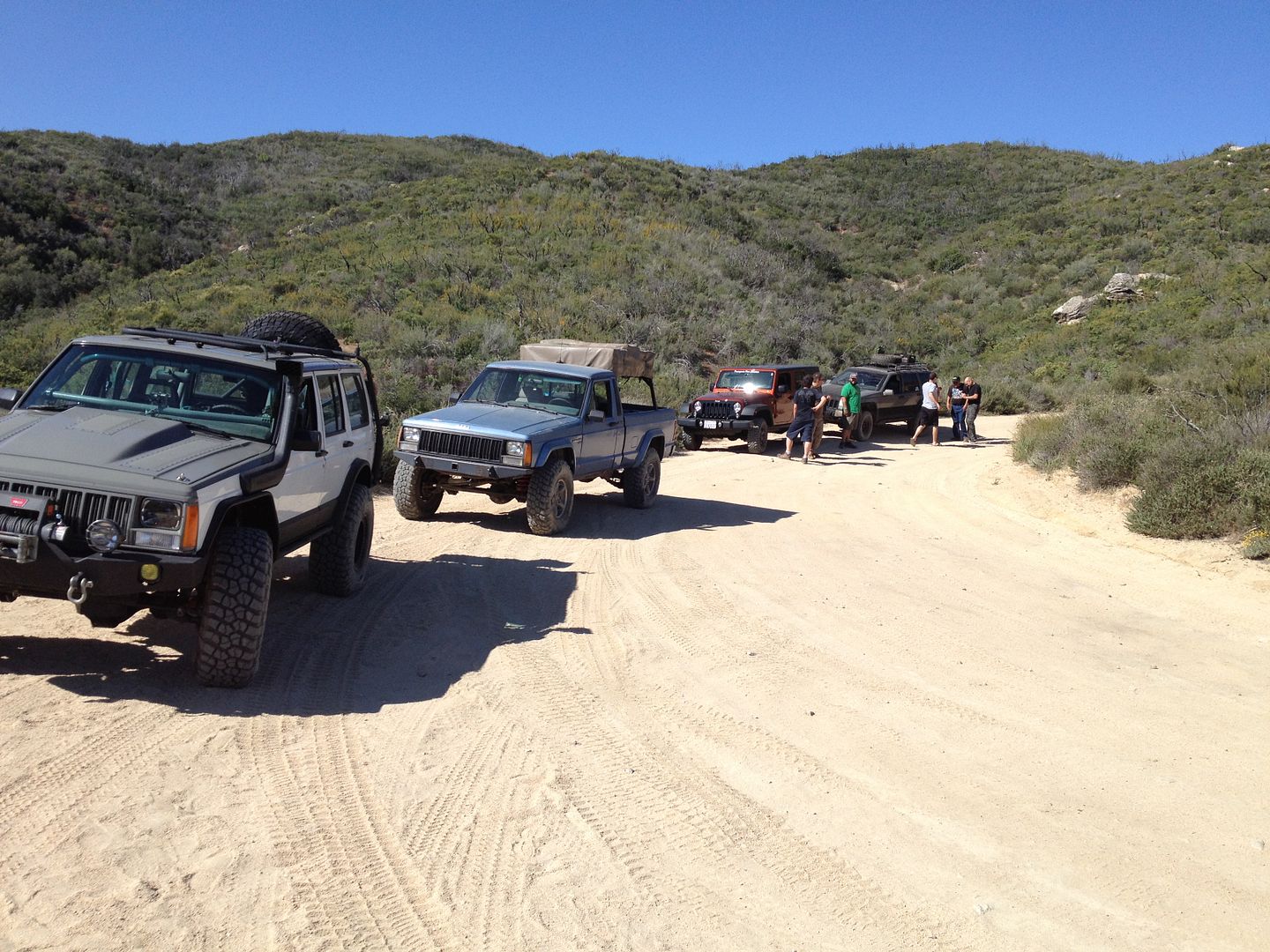
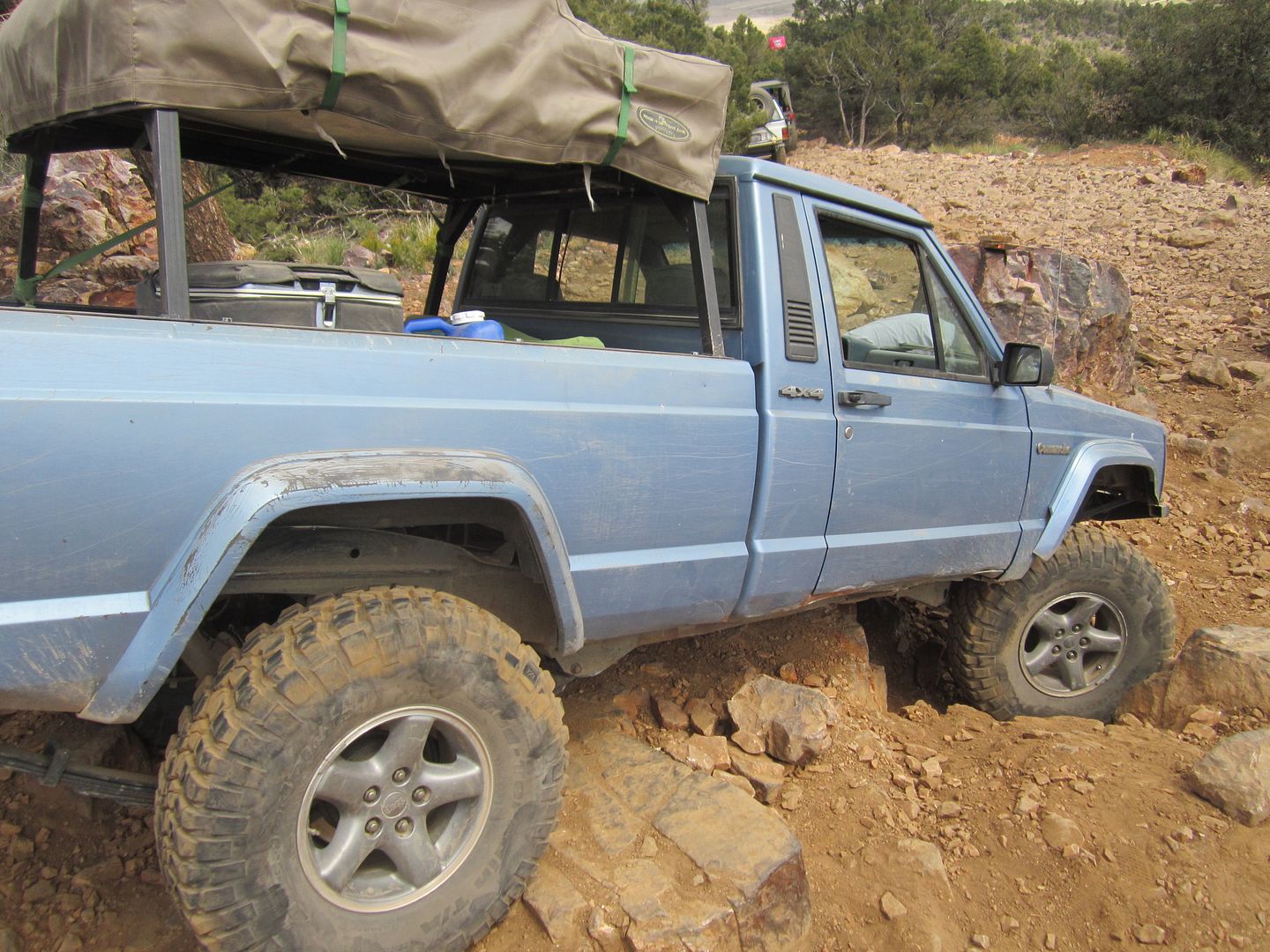
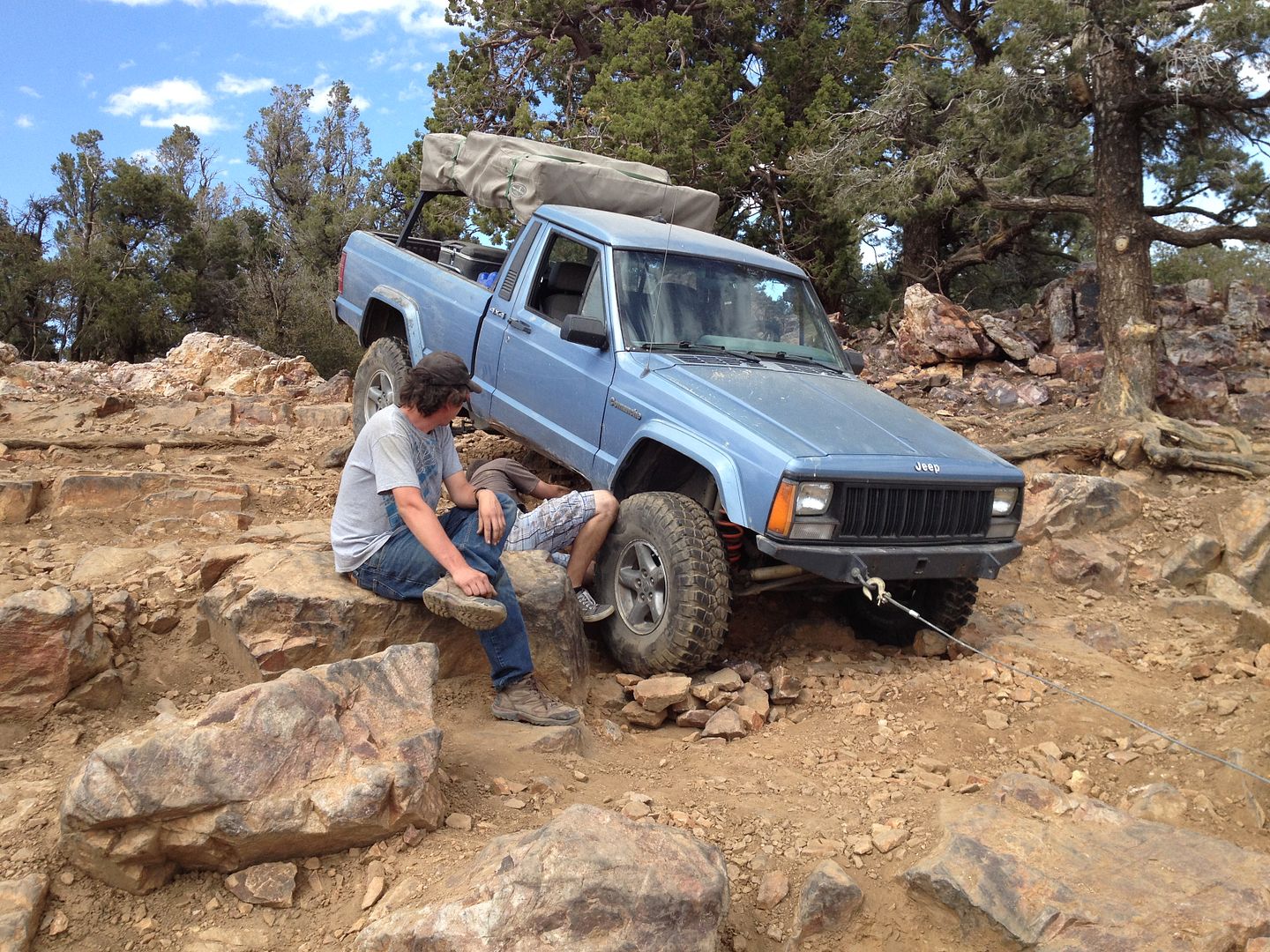
Once again we hit pavement briefly as we traveled over to trail #2, Pilot Rock which we traveled briefly to what I call the “X” trail (2N17X). There is a brief steep gatekeeper at the beginning of the “X” trail that can intimidate some, but all made it through without any problem. The next serious challenge is what is called the “Middle Lane” trail option. Over the years is option has become increasingly more difficult as the sides have worn into the rut causing the trail in the first section become more of a sand hill climb. About ¾’s of the way up the soil changes and there is a rock ledge that has not worn down so it’s a 2-3’ straight up climb. Last time I drove this I had to use both lockers to get up the ledge. I assumed that it hadn’t changed much and headed up. To my surprise when I came to the ledge my front axle climbed it without too much effort but the next thing I heard was my cross member crashing against the ledge. What had happened over time was as driver’s struggles to get their rear axle up the proceeded to spin their rear tires digging a deeper trough just below the ledge so now it was more like a 3-4’ climb. My wheel base wasn’t long enough so just as my front axle came across the top of the ledge my rear axle fell into the trough. (At this point I reminded myself of the lesson I had told other that they should never assume an obstacle is the same as it was last time and on one as difficult as this, you should take a look at it before you charge up in your vehicle.) After a few tries, I realized that if I were to get over it I had to cock my vehicle sideways some so that the rear wheels could climb one at a time. This would require a rather awkward climb of the trough wall with the passenger side just before the ledge. Hard to describe in words but easy to see when done right. Here is a movie of Matt in his MJ using this technique.

Fernando gave it a try with his ZJ but without lockers and smaller tires the sand was more than he could handle.
Everyone made the rest of the challenges on the “X” trail. Every once in a while we heard from Murrie via 2 meter radio on his progress or lack of it fixing his power steering hose.
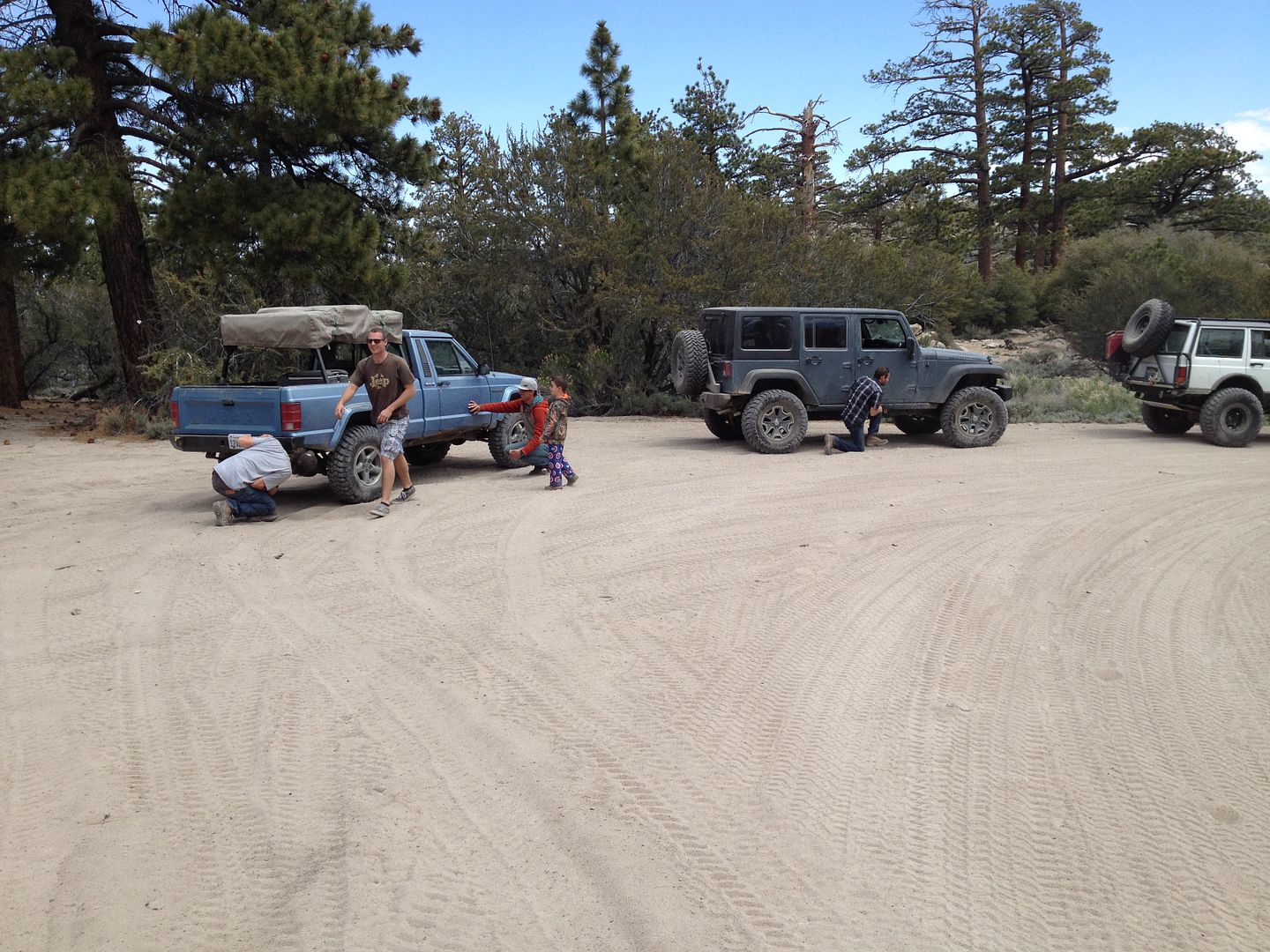
We broke for lunch near where we re-joined the Pilot Rock trail and Fernando was once again to work on his ZJ, this time working on the rear suspension.
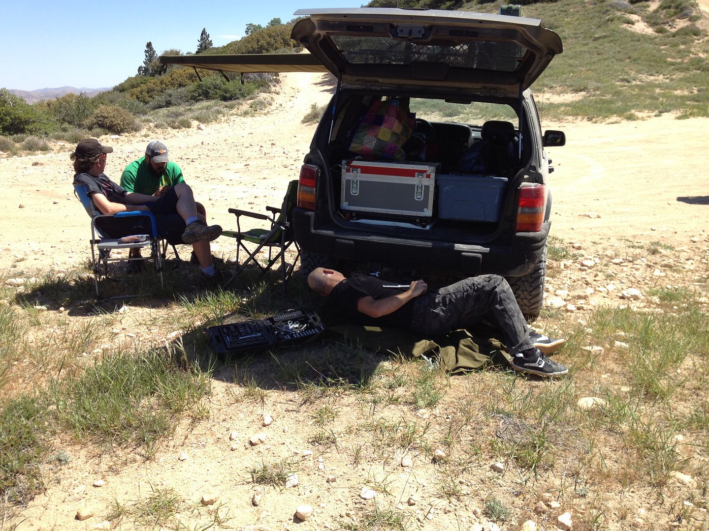
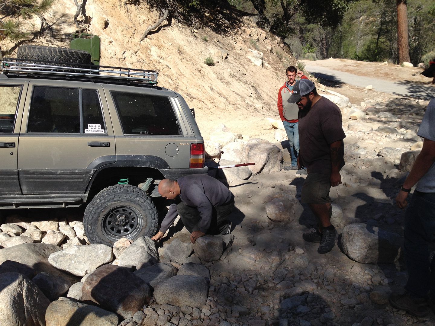
From here we continued on 2N33 to the Pinnacles Staging area where we started on the Willow Creek trail using the slightly more difficult option, 3N34X. At one of the trail junction Fernando called out on the radio that one of his rear springs had dislodged and he needed to put it back in place. We briefly stopped and after a conference, it was determined that Fern and his ZJ needed some additional attention to be fixed with parts we didn’t have here so he had to bow out of the trip and possibly join up with us at camp tonight if he could get it fixed.
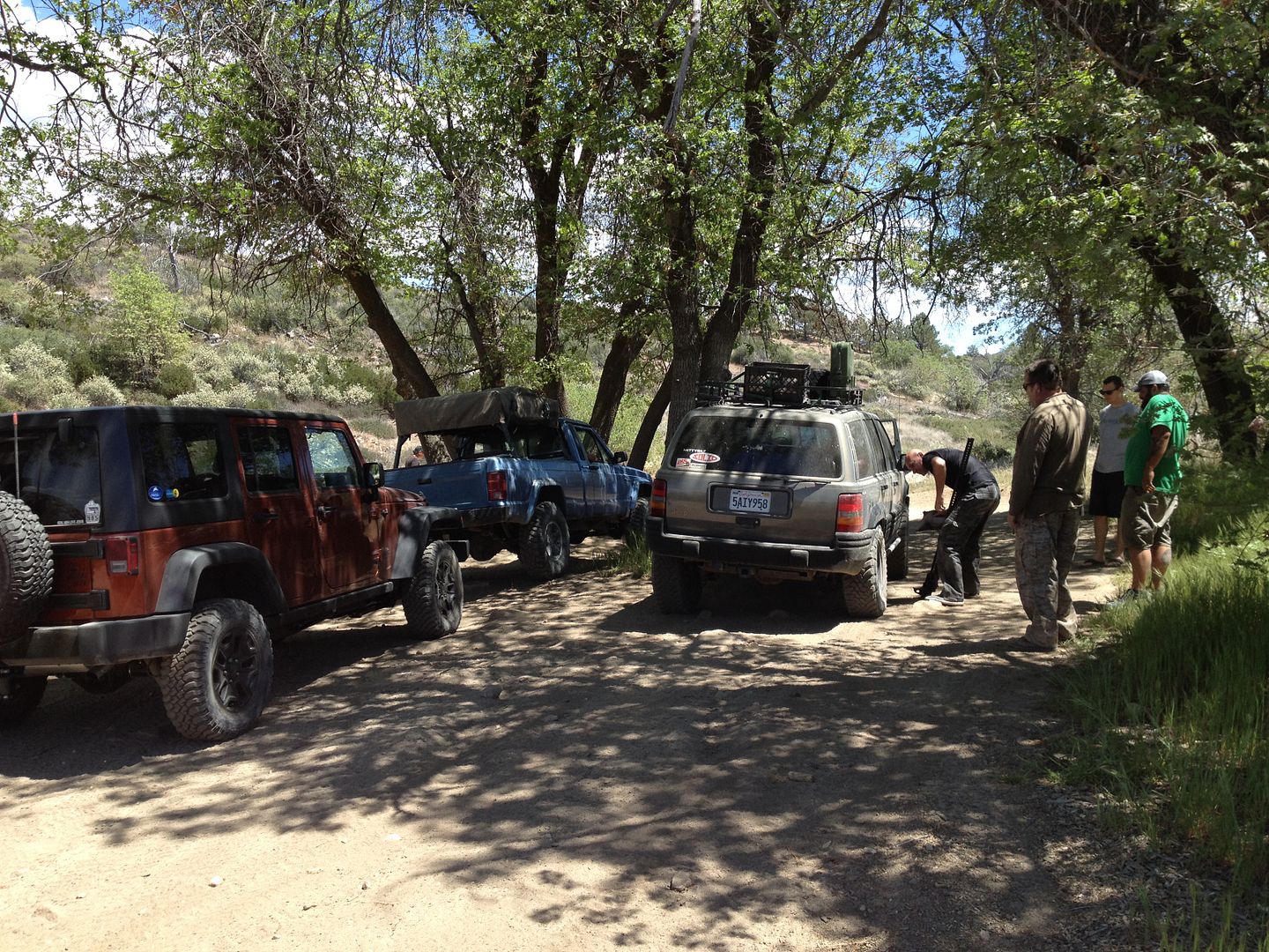
So after traveling on the Willow Creek trail we came to the Dishpan Springs turn off with only me and Matt in his MJ. These happen to be the two oldest vehicles.
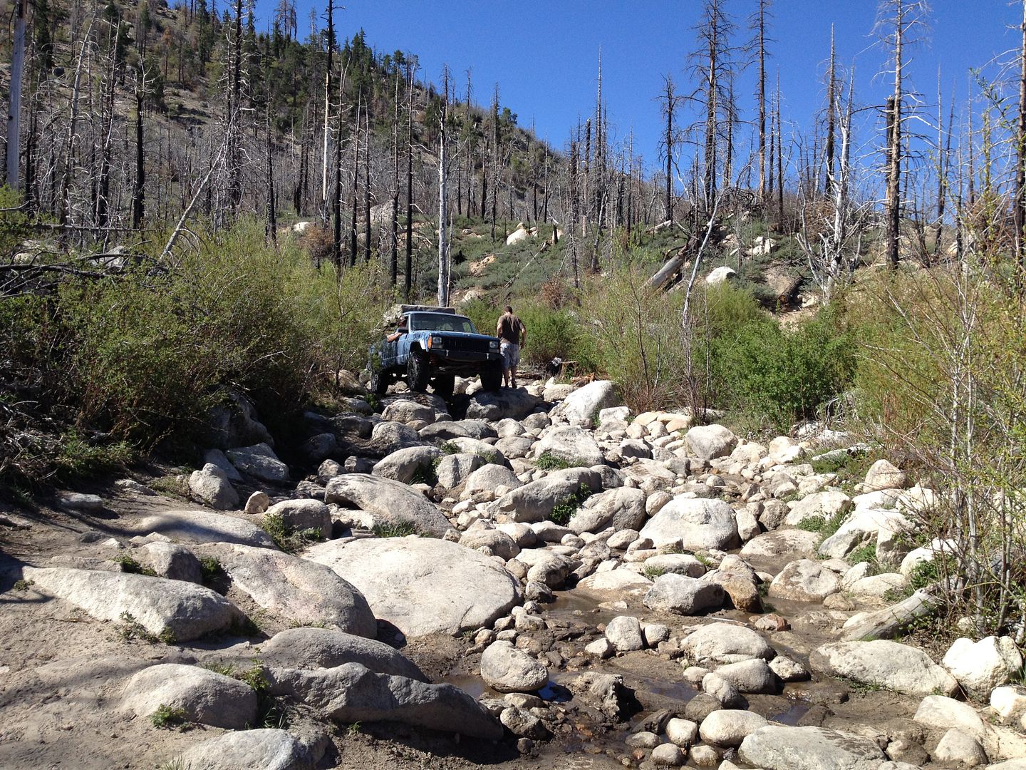
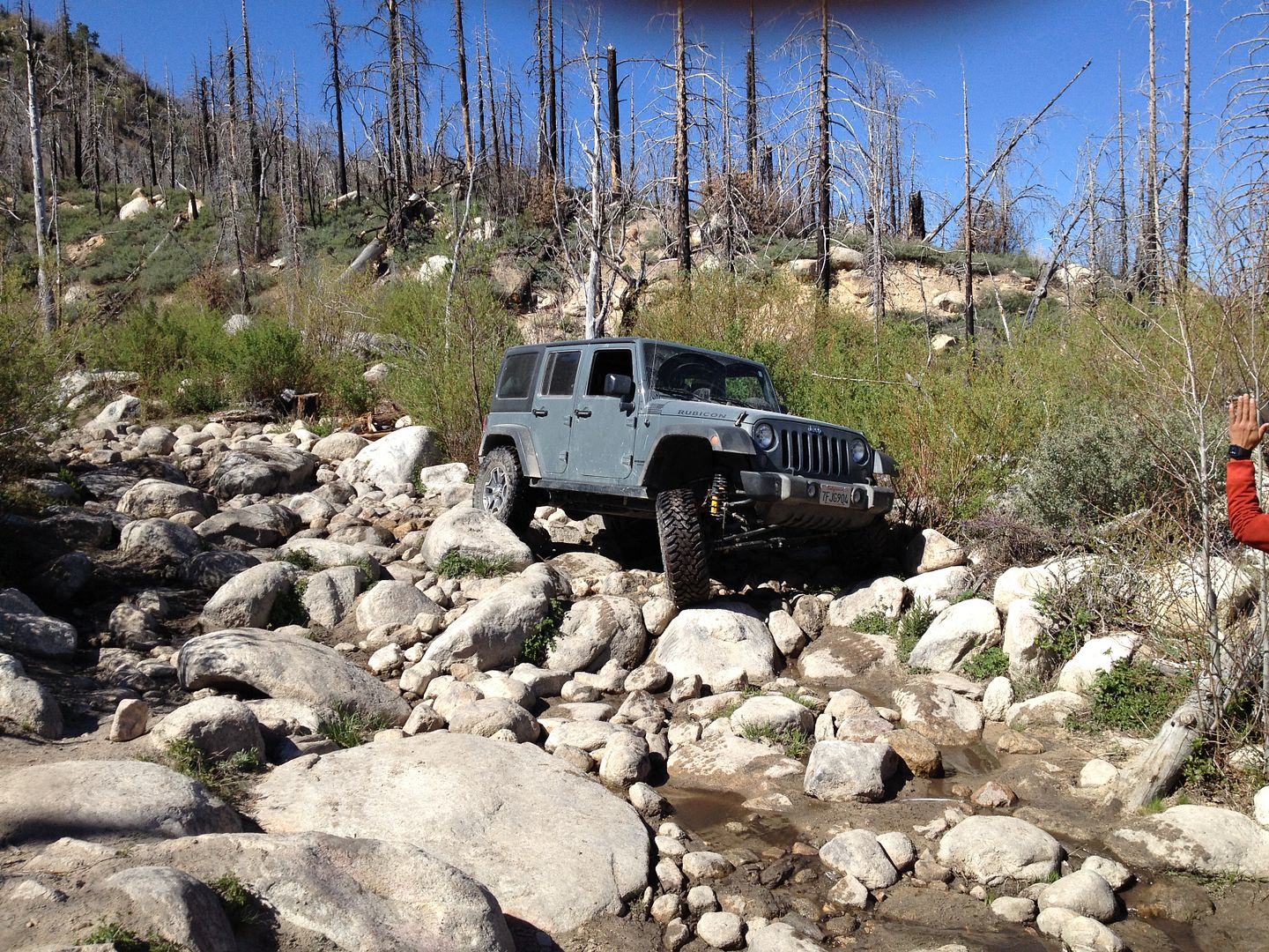
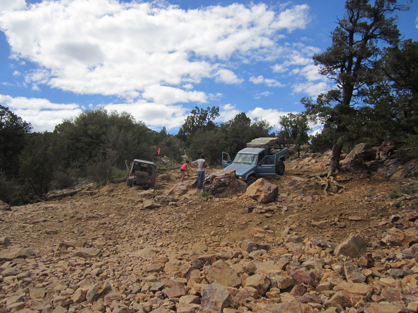
Dishpan’s more difficult section can change from year to year. I hadn’t been on this trail for 3 years. The two usual routes had change in that the tougher one (climbing the waterfall) has become more so and the easier (left) route had become so filled with sand that it was easier than prior times.
I had a difficult time once I climb the dry falls in that my spotter didn’t know where my passenger side needed to line up. Without this proper line one risks a roll over by having the driver’s rear tire fall into a deep whole or rut and drag the rest of the vehicle over. You can see what I’m talking about in this movie. If the spotter isn’t familiar with the proper line it is the driver’s responsibility to take the time and instruct him.


After watching me struggle on the water fall Matt chose the easier left route and climbed it with minimum effort.
The balance of Dishpan is a fun trail which we traveled without incident finishing at Crab Flats campground.
We usually stay at Crab Flats to camp on the CH trip but this campground was still closed so our nearest place to camp was 7 miles away at Green Valley Lake campgrounds. It’s an easy ride on a graded dirt road and a small section of pavement to the very small community of Green Valley Lake.
Every so often we could faintly hear Fernando and Murrie talking on the 2 meter radio. It sounded like they were meeting up somewhere on the trail and were trying to make their way to the campground. After selecting a campsite, setting up camp, making a fire and cooking my steak a much clearer call came over my radio from Murrie. He was asking for help, he said that both Fernando and Michael were stuck in rocks on a trail and couldn’t free themselves. He was asking for me to come where they were with my winch and help them out. Knowing the area and the trails I couldn’t imagine where they would be in the route to the campground that would cause them to get stuck. When I asked exactly where they were stuck I got a rather vague answer.
I instructed Murrie to note exactly on the map where they were stuck and then make his way to our campsite where we would discuss and make recovery plans, but first I wanted to finish my dinner. It was about an hour later that Murrie finally showed at the campsite with a description of the trail they were trying to cover when they got stuck. His description sounded a lot like Dishpan Springs but I had serious doubts that the inexperienced drivers with stock or near stock vehicles could make it through that trail. The more he talked the more convinced I became that this was in fact the trail they decided to take and get stuck on. I could hardly believe it.
More later,
Thanks,
Fred
Explorer 1
The “CH” (Cleghorn to Heartbreak Ridge) challenge trip isn’t designed for the faint hearted. It will challenge driver skills, vehicle’s ability and driver and spotters physical and mental endurance. The course driven over two days connects just about every difficult trail from Interstate 15 to Highway 62 in the Morengo Valley. In the two prior runs only 2 vehicles that started made the entire trail and finished the course. For most that come easier “drive around” options are used. Some come and drive a few trails and then leave the course. To the few that complete the entire course belongs the personal satisfaction that they took on everything the trails could throw at them and came through still standing or still rolling under own power.
May 2-3, 2105 Saturday and Sunday
The day started with great weather as we met at the Cleghorn trailhead just off the Interstate 15. At the beginning we had the following drivers and vehicles:
1. Me 1990 XJ
2. Matt D. 1987 MJ
3. Fernando G. 1998 ZJ
4. Murrie A. 1998 XJ
5. Michael A. 2014 Tacoma
6. Matt J. 2014 JK

As we headed up the Cleghorn we took all the more difficult options until we came to the “V” notch. Here Murrie, Michael and Matt J. chose to pass around. The “V” notch really tests the articulation on a vehicle.
After the “V” notch there are several challenging hills to climb until we crest the top.

There are a couple of off camber parts and a few steep drops. On one prior “CH” trip one of the guys rolled his XJ on one of the off camber places.
I believe all the group took the more difficult option down. After one of the more difficult drops Murrie noticed his steering acting strange and it was discovered that the high pressure power steering line had a hole in it and was bleeding fluid with each turn. At this point he had no other option than to exit the Cleghorn on the easy path and make a bee line to Hesperia to find another line then install it. His plans were to only trail with us for the day so it looked like his wheeling might be cut short. So off he went with his twin brother following in his Toyota Tacoma as support.

On day one, trail one, we have already lost two vehicles. It looked like the Jeeps would be alone on the trail.
It wasn’t long before we had our second mechanical issue, Fernando’s noticed that one of the bolts that held on his steering dampener had somehow loosened and fallen out. We took a brief stop with enough time for him to remove the other bolt and continue without the dampener.

We completed the last articulation test on the Cleghorn with only Matt in the JK opting out of this challenge.

Once again we hit pavement briefly as we traveled over to trail #2, Pilot Rock which we traveled briefly to what I call the “X” trail (2N17X). There is a brief steep gatekeeper at the beginning of the “X” trail that can intimidate some, but all made it through without any problem. The next serious challenge is what is called the “Middle Lane” trail option. Over the years is option has become increasingly more difficult as the sides have worn into the rut causing the trail in the first section become more of a sand hill climb. About ¾’s of the way up the soil changes and there is a rock ledge that has not worn down so it’s a 2-3’ straight up climb. Last time I drove this I had to use both lockers to get up the ledge. I assumed that it hadn’t changed much and headed up. To my surprise when I came to the ledge my front axle climbed it without too much effort but the next thing I heard was my cross member crashing against the ledge. What had happened over time was as driver’s struggles to get their rear axle up the proceeded to spin their rear tires digging a deeper trough just below the ledge so now it was more like a 3-4’ climb. My wheel base wasn’t long enough so just as my front axle came across the top of the ledge my rear axle fell into the trough. (At this point I reminded myself of the lesson I had told other that they should never assume an obstacle is the same as it was last time and on one as difficult as this, you should take a look at it before you charge up in your vehicle.) After a few tries, I realized that if I were to get over it I had to cock my vehicle sideways some so that the rear wheels could climb one at a time. This would require a rather awkward climb of the trough wall with the passenger side just before the ledge. Hard to describe in words but easy to see when done right. Here is a movie of Matt in his MJ using this technique.
Fernando gave it a try with his ZJ but without lockers and smaller tires the sand was more than he could handle.
Everyone made the rest of the challenges on the “X” trail. Every once in a while we heard from Murrie via 2 meter radio on his progress or lack of it fixing his power steering hose.
We broke for lunch near where we re-joined the Pilot Rock trail and Fernando was once again to work on his ZJ, this time working on the rear suspension.

From here we continued on 2N33 to the Pinnacles Staging area where we started on the Willow Creek trail using the slightly more difficult option, 3N34X. At one of the trail junction Fernando called out on the radio that one of his rear springs had dislodged and he needed to put it back in place. We briefly stopped and after a conference, it was determined that Fern and his ZJ needed some additional attention to be fixed with parts we didn’t have here so he had to bow out of the trip and possibly join up with us at camp tonight if he could get it fixed.

So after traveling on the Willow Creek trail we came to the Dishpan Springs turn off with only me and Matt in his MJ. These happen to be the two oldest vehicles.
Dishpan’s more difficult section can change from year to year. I hadn’t been on this trail for 3 years. The two usual routes had change in that the tougher one (climbing the waterfall) has become more so and the easier (left) route had become so filled with sand that it was easier than prior times.
I had a difficult time once I climb the dry falls in that my spotter didn’t know where my passenger side needed to line up. Without this proper line one risks a roll over by having the driver’s rear tire fall into a deep whole or rut and drag the rest of the vehicle over. You can see what I’m talking about in this movie. If the spotter isn’t familiar with the proper line it is the driver’s responsibility to take the time and instruct him.
After watching me struggle on the water fall Matt chose the easier left route and climbed it with minimum effort.
The balance of Dishpan is a fun trail which we traveled without incident finishing at Crab Flats campground.
We usually stay at Crab Flats to camp on the CH trip but this campground was still closed so our nearest place to camp was 7 miles away at Green Valley Lake campgrounds. It’s an easy ride on a graded dirt road and a small section of pavement to the very small community of Green Valley Lake.
Every so often we could faintly hear Fernando and Murrie talking on the 2 meter radio. It sounded like they were meeting up somewhere on the trail and were trying to make their way to the campground. After selecting a campsite, setting up camp, making a fire and cooking my steak a much clearer call came over my radio from Murrie. He was asking for help, he said that both Fernando and Michael were stuck in rocks on a trail and couldn’t free themselves. He was asking for me to come where they were with my winch and help them out. Knowing the area and the trails I couldn’t imagine where they would be in the route to the campground that would cause them to get stuck. When I asked exactly where they were stuck I got a rather vague answer.
I instructed Murrie to note exactly on the map where they were stuck and then make his way to our campsite where we would discuss and make recovery plans, but first I wanted to finish my dinner. It was about an hour later that Murrie finally showed at the campsite with a description of the trail they were trying to cover when they got stuck. His description sounded a lot like Dishpan Springs but I had serious doubts that the inexperienced drivers with stock or near stock vehicles could make it through that trail. The more he talked the more convinced I became that this was in fact the trail they decided to take and get stuck on. I could hardly believe it.
More later,
Thanks,
Fred
Explorer 1


